Login

Forgot your login?

Cookies have to be accepted!
Your browser's cookie functionality is disabled. Please enable this functionality.

Not a member yet?

Register now
Login

Available for registred users only

Log in to use this feature.

Forgot your login?

Cookies have to be accepted!
Your browser's cookie functionality is disabled. Please enable this functionality.

Not a member yet?

Register now
Filter
Categories
Advanced filters
  • Distance (km)
  • Height
Save filters Reset filter

TrackRank

QRCode

Technical data

Distance12,6 km Height937 m Way down946 m Duration06:00 h:m Date05.07.2010
Scores Author Landscape Fun factor Fitness Technique

Statistics

1229 Views Scores 161 Downloads Average
Rate
  • Track data sheet
  • Directions
  • Downloads

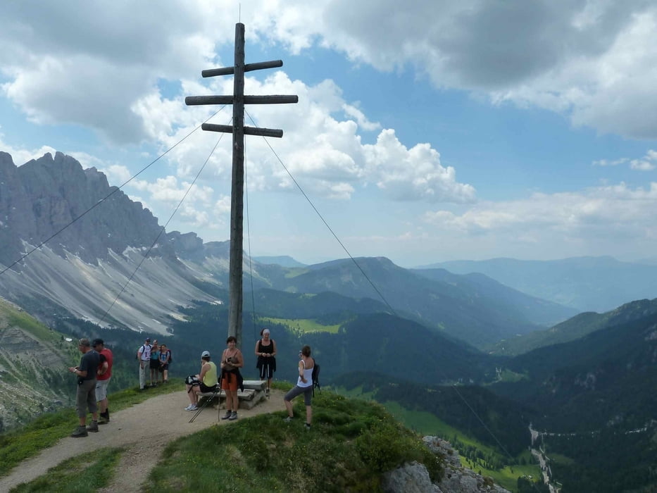
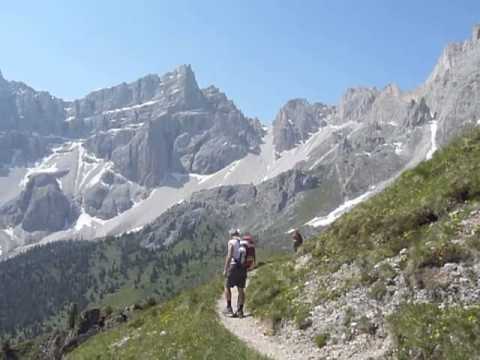
 Vom Parkplatz Zans auf das Kreuzjoch, zur Schlüterhütte, auf dan Zendleser Kofel und über die Kaserillalm zurück zum Parkplatz 
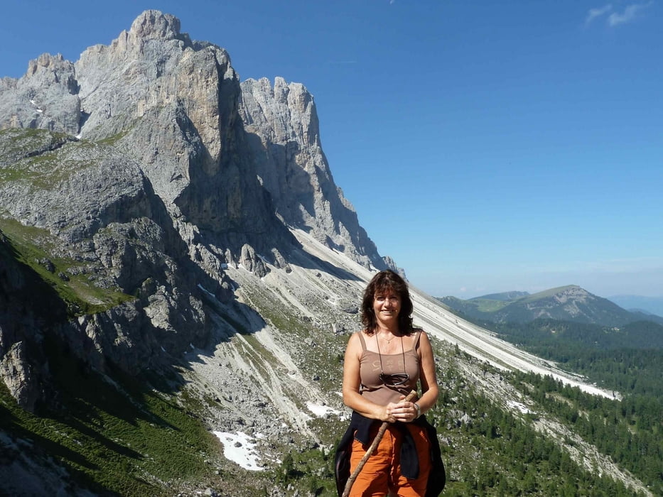
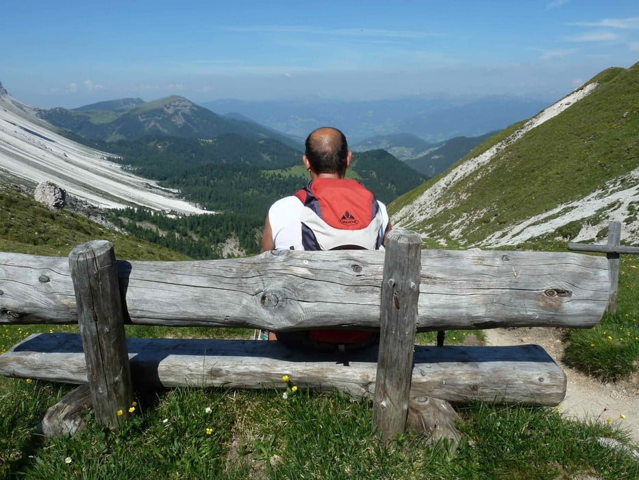
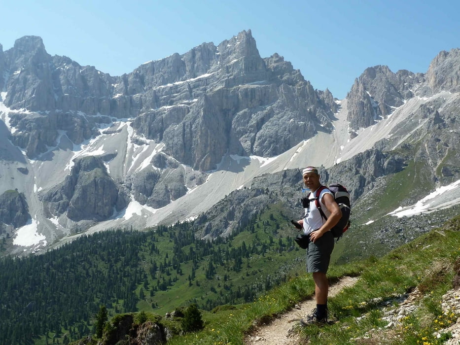
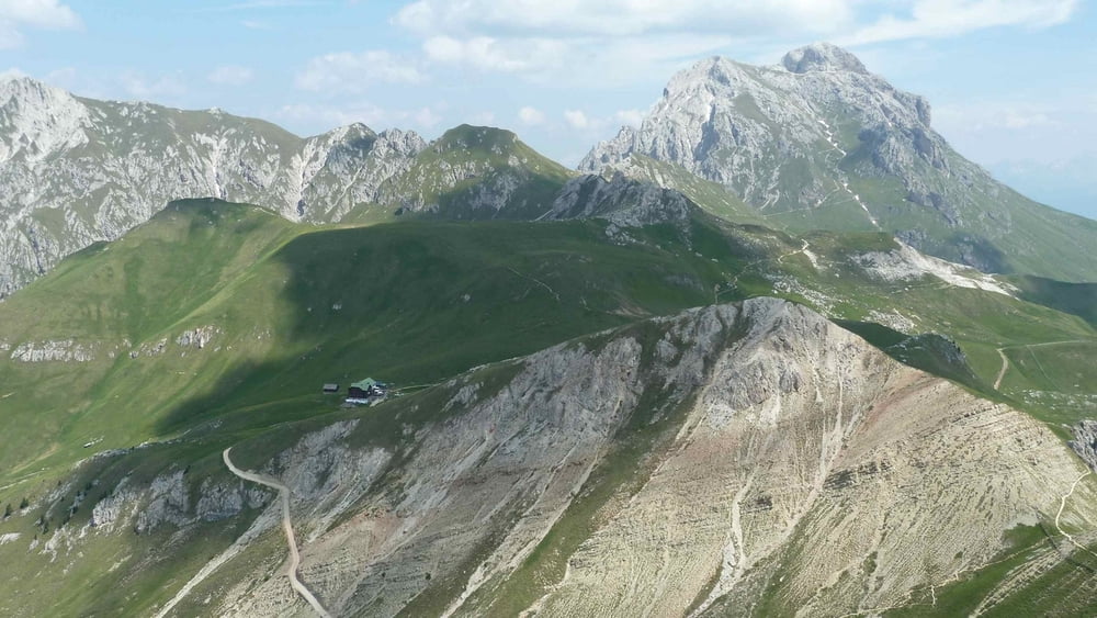
Tour gallery

Tour map and elevation profile

  • Open Street Map
  • Google
Minimum height 1671 m Maximum height 2476 m Detailed view

More about the tour author

EmilG
Member since 2008

Send private message

Comments

 Von der Autobahnausfahrt Klausen in das Villnösstal bis zum Parkplatz Zans am Ende des Tales.

GPS tracks

Trackpoints
  • GPX / Garmin Map Source (gpx) download
  • TCX / Garmin Training Center® (tcx) download
  • CRS / Garmin Training Center® (crs) download
  • Google Earth (kml) download
  • G7ToWin (g7t) download
  • TTQV (trk) download
  • Overlay (ovl) download
  • Fugawi (txt) download
  • Kompass (DAV) Track (tk) download
  • Track data sheet (pdf) download
  • Original file of the author (gpx) download

More about the tour author

EmilG
Member since 2008

Send private message
Share track
Add to my favorites
Remove from my favorites
Edit tags
My score
Rate
Track: Villnöss - Val di Funes
Type: Hiking
Distance: 12,6 km
Evaluated on:
Duration:
Day(s)
Hour(s)
Minute(s)
Score: Landscape Fun factor Fitness Technique