


Von Partenen auf dem Radweg nach St. Gallenkirch. Von dort hinauf über Asphalt nach Gargellen. Nach Durchfahrt des Ortes links über eine Alm ins Vergalda Tal 200hm entspannt zur Vergalda Alpe. Im Anschluss den gleichen Weg hinab und an besagter Alm vorbei, sodass man gegenüber den Schotterweg erreicht, der zum Schafberg hinauf führt. In etwa 5km und 600hm sprechen für sich. Es ist steil.
Am Schafberghüsli kann man einkehren und im weiteren Verlauf über die Kuppe hinten den Schafberg herunter fahren zurück nach Gargellen. Bei der Abfahrt nach St. Gallenkirch ist für den ersten Teil der Strecke der auf der rechten Seite des Baches verlaufende Wanderweg zu empfehlen.
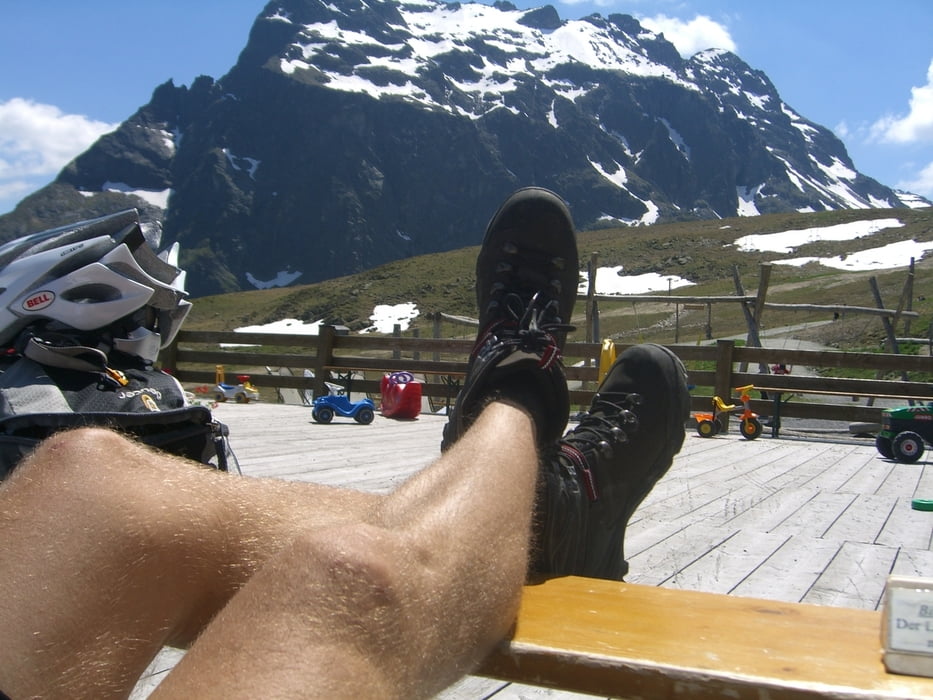
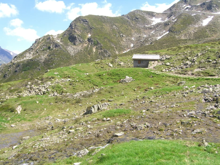
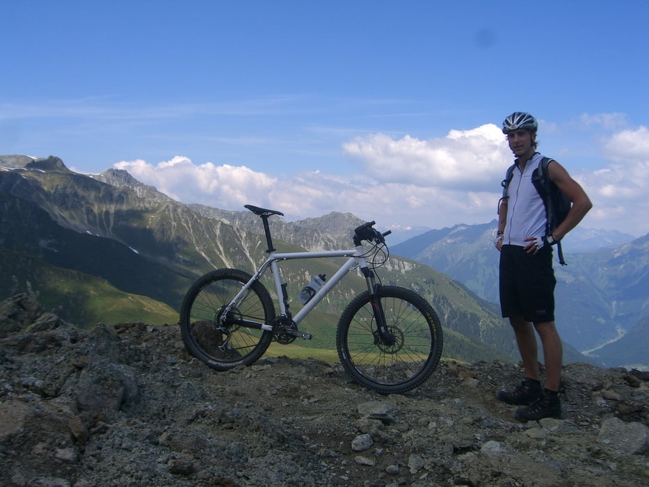
Tour gallery
Tour map and elevation profile
Minimum height 811 m
Maximum height 2224 m
More about the tour author
|
|
macb |
Comments

GPS tracks
Trackpoints-
GPX / Garmin Map Source (gpx) download
-
TCX / Garmin Training Center® (tcx) download
-
CRS / Garmin Training Center® (crs) download
-
Google Earth (kml) download
-
G7ToWin (g7t) download
-
TTQV (trk) download
-
Overlay (ovl) download
-
Fugawi (txt) download
-
Kompass (DAV) Track (tk) download
-
Track data sheet (pdf) download
-
Original file of the author (gpx) download
More about the tour author
|
|
macb |
Add to my favorites
Remove from my favorites
Edit tags
Open track
My score
Rate