


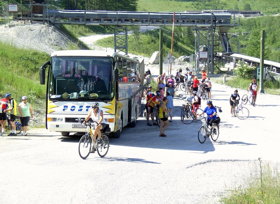
Der Radbus brachte uns zur Gasthofalm (1.200 m Seehöhe) in der Nähe des Rasthauses Tauernalm. Von hier ging es entlang des Pleißlingbaches bis zur Einmündung in die Enns.
Die Enns selbst entspringt in der Nähe der Oberennsalm auf 1.755 m Seehöhe.
Auf folgender Internetseite wird das Gebiet um den Ennsursprung sehr gut gezeigt:
http://wolfsberge.over-blog.com/article-31749042.html
Zur Route selbst kann man nur sagen, dass diese auf sehr schönen Radwegen führt und auch über die gesamte Länge klar gekennzeichnet ist.
Das Ende dieses 1. Teiles des Ennsradweges war in Selzthal. Der 2. Teil bis zur Mündung in die Donau wird meine nächste Tour.
Further information at
http://www.ennsradweg.at/Tour gallery


Tour map and elevation profile
Minimum height 640 m
Maximum height 1184 m
More about the tour author

|
efelber |
Comments

Diese Reise wurde durch das Busunternehmen Postl aus Pernitz (NÖ) organisiert.
Der Bus brachte uns bis zum Gasthof Gasthofalm (1.200 m) imFlachauweinkel
GPS tracks
Trackpoints-
GPX / Garmin Map Source (gpx) download
-
TCX / Garmin Training Center® (tcx) download
-
CRS / Garmin Training Center® (crs) download
-
Google Earth (kml) download
-
G7ToWin (g7t) download
-
TTQV (trk) download
-
Overlay (ovl) download
-
Fugawi (txt) download
-
Kompass (DAV) Track (tk) download
-
Track data sheet (pdf) download
-
Original file of the author (gpx) download
More about the tour author
|
|
efelber |
Add to my favorites
Remove from my favorites
Edit tags
Open track
My score
Rate