


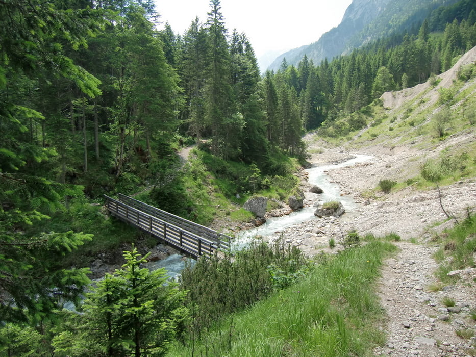
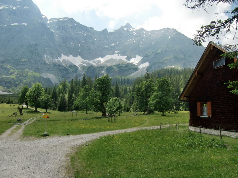
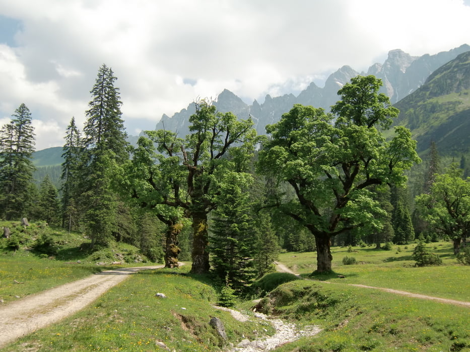
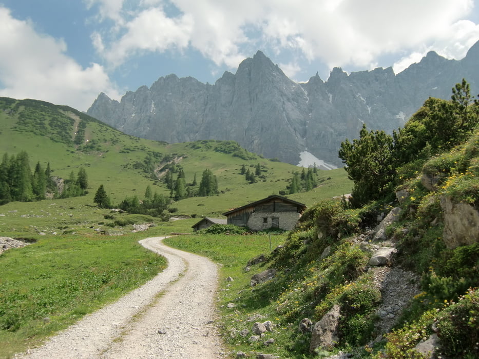
Am Parkplatz P2 startet auf der gegenüberliegenden Straßenseite der Wanderweg 231. Auf diesen gelangt man zuerst durch Wald, dann auf Forststraße durchs Johannestal nach ca. 2 Std zum Kleinen Ahornboden. Von hier, dem Wegweiser Falkenhütte folgend, in den Ladizwald und zur schön gelegenen Ladizalm. Kurz danach zweigt der Wanderweg links hinauf zur Falkenhütte.
Tour gallery
Tour map and elevation profile
Minimum height 942 m
Maximum height 1830 m
More about the tour author

|
bruno68 |
Comments

Start der Wanderung ist der Parkplatz P2 nach dem Ortsende von Hinterriss.
Von Lenggries und Vorderriss kommend, die Ortschaft Hinterriss durchfahren, nach dem Ortsende von Hinterriss sind mehrere kostenfreie Parkplätze. Unsere Tour startet am Parkplatz P2.
GPS tracks
Trackpoints-
GPX / Garmin Map Source (gpx) download
-
TCX / Garmin Training Center® (tcx) download
-
CRS / Garmin Training Center® (crs) download
-
Google Earth (kml) download
-
G7ToWin (g7t) download
-
TTQV (trk) download
-
Overlay (ovl) download
-
Fugawi (txt) download
-
Kompass (DAV) Track (tk) download
-
Track data sheet (pdf) download
-
Original file of the author (gpx) download
More about the tour author
|
|
bruno68 |
Add to my favorites
Remove from my favorites
Edit tags
Open track
My score
Rate