


Date: July 5, 2010
Start: 1182 m (mountain station of Salamander Sesselbahn)
Finish: 864 m (lower station of Salamander Sesselbahn)
Highest point: 2077 m
Lowest point: 878 m
Total ascent: 1112 m
Total descent: 1422 m
Information about the Salamander Sesselbahn:
http://www.schneebergbahn.at
Webcams:
http://www.schneeberg.tv
Further information at
http://www.beepee.hu/kepek/v/turak/schneeberg1007/Tour gallery

Tour map and elevation profile
Minimum height 878 m
Maximum height 2078 m
More about the tour author
|
|
beepee |
Comments

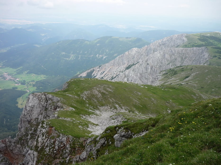
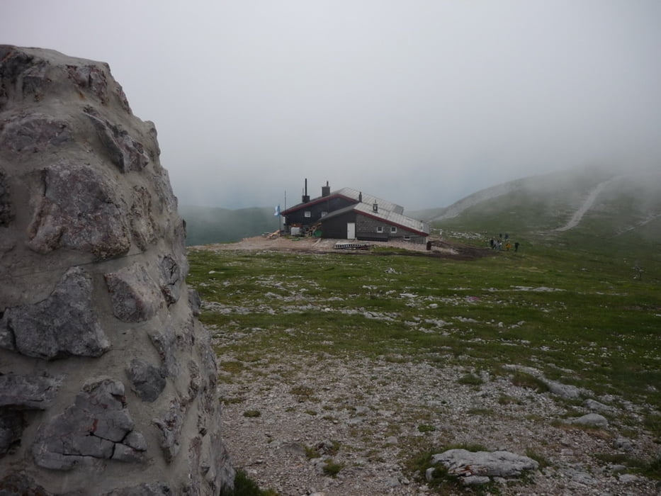
Another nice tour on and around Schneeberg.
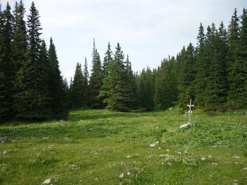
Up via Fadensteig, but at this time we took a different route down from the top back to the parking place at the lower station of the cable car.
At some places we were not following the marked path, thanks to the nearby geocaches.
Also at the end between the upper and lower station of the cable chair, we had to make some shortcuts as the sun was going down on us.
GPS tracks
Trackpoints-
GPX / Garmin Map Source (gpx) download
-
TCX / Garmin Training Center® (tcx) download
-
CRS / Garmin Training Center® (crs) download
-
Google Earth (kml) download
-
G7ToWin (g7t) download
-
TTQV (trk) download
-
Overlay (ovl) download
-
Fugawi (txt) download
-
Kompass (DAV) Track (tk) download
-
Track data sheet (pdf) download
-
Original file of the author (gpx) download
More about the tour author
|
|
beepee |
Add to my favorites
Remove from my favorites
Edit tags
Open track
My score
Rate