


Von Steinberg über Essendorf in den Unterweiler Wald bis Dellmensingen. Über den Schlossberg in Erbach nach Bach und auf den Hochsträß. Diesmal auf kurzem Weg entlang der Landstrasse nach Beiningen. Vorbei am Skilift und Erstetten nach Ermingen Allewind. Dort im Wald für 1,5 km auf lustigem Trial. Wer Bunny - Hops kann, darf ihn zwei oder drei Mal einsetzen. Das Stück macht echt Spass !
Zurück über Grimmelfingen vorbei am Tannenplatz durch Unterweiler, Essendorf nach Steinberg.
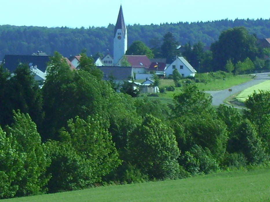
Nette Runde mit schönen Aussichten.
Tour gallery

Tour map and elevation profile
Minimum height 440 m
Maximum height 665 m
More about the tour author
|
|
painfully58 |
Comments

GPS tracks
Trackpoints-
GPX / Garmin Map Source (gpx) download
-
TCX / Garmin Training Center® (tcx) download
-
CRS / Garmin Training Center® (crs) download
-
Google Earth (kml) download
-
G7ToWin (g7t) download
-
TTQV (trk) download
-
Overlay (ovl) download
-
Fugawi (txt) download
-
Kompass (DAV) Track (tk) download
-
Track data sheet (pdf) download
-
Original file of the author (gpx) download
More about the tour author
|
|
painfully58 |
Add to my favorites
Remove from my favorites
Edit tags
Open track
My score
Rate