


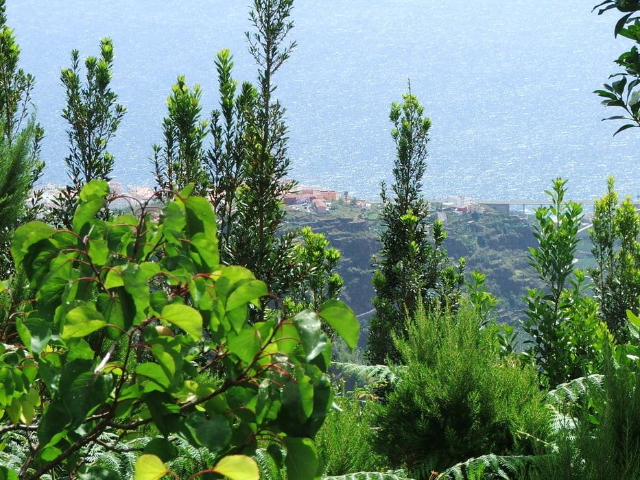
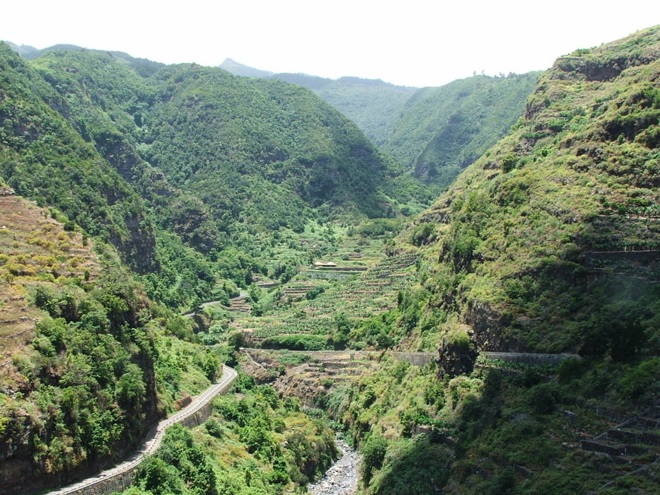
Wegverlauf: Barlovento - Laguna de Barlovento - Mirador Las Barandas - Los Tilos - Los Sauces
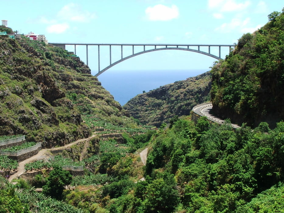
1,5 Kilometer unterhalb von Los Tilos kann man an der Brücke die Asphaltstraße verlassen und auf der linken/ nördlichen Barrancoseite bleiben. Der Pfad trifft weiter unten wieder auf den Track.
Tour gallery
Tour map and elevation profile
Minimum height 257 m
Maximum height 858 m
More about the tour author
|
|
lothardomnik |
Comments
Direkte Busverbindung zwischen Los Sauces und Barlovento (Linie 2: montags bis freitags stündlich, samstags und sonntags alle zwei Stunden)
GPS tracks
Trackpoints-
GPX / Garmin Map Source (gpx) download
-
TCX / Garmin Training Center® (tcx) download
-
CRS / Garmin Training Center® (crs) download
-
Google Earth (kml) download
-
G7ToWin (g7t) download
-
TTQV (trk) download
-
Overlay (ovl) download
-
Fugawi (txt) download
-
Kompass (DAV) Track (tk) download
-
Track data sheet (pdf) download
-
Original file of the author (gpx) download
More about the tour author
|
|
lothardomnik |
Add to my favorites
Remove from my favorites
Edit tags
Open track
My score
Rate
Wir mussten leider wegen des Wetters abbiegen
Wir haben bis zur Laguna de Barlovento darauf gehofft, dass das Wetter besser würde, doch die Wolken und der Nieselregen waren in dieser Höhe recht hartnäckig.
Daher sind wir an der Lagune Richtung Los Sauces abgebogen und durch Cabezas hinabgestiegen, um schnell zum Auto zurückzukehren. Dabei war das Wetter dann annehmbar.
Die Tour versuche ich gerne nochmal bei meinem nächsten Ausflug.