


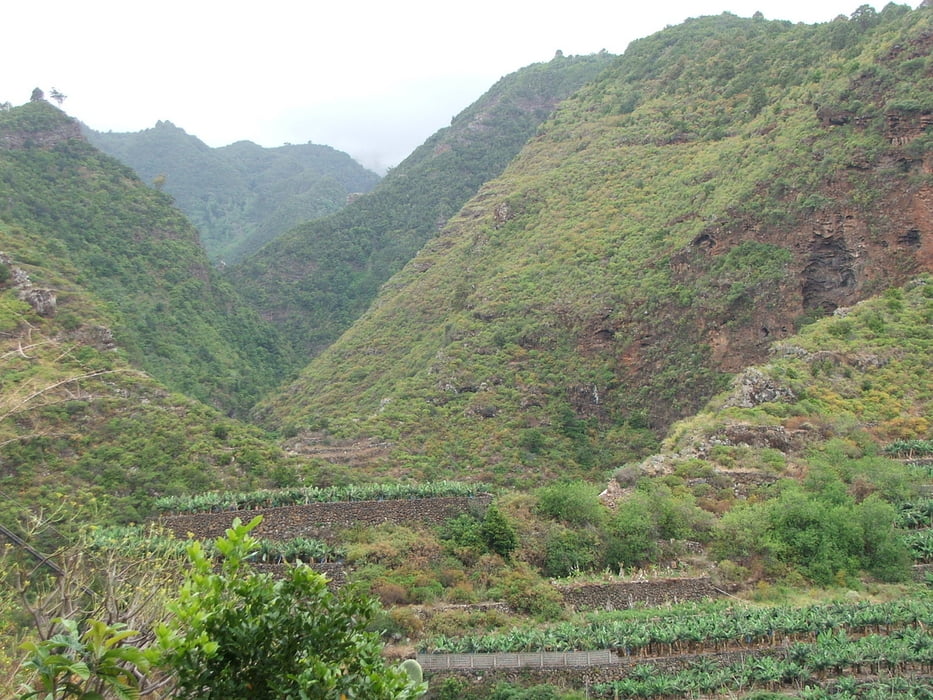
Wegverlauf: Barlovento - Las Cabezadas - Los Sauces - San Andrés
Etwa zwischen km 1,6 und km 2,2 habe ich den (schlecht) bezeichneten Weg verloren: da, wo mein Track die Spitze nach Osten aufweist. Auch von Los Sauces nach San Andrés folgt der Track nicht dem Wanderweg, sondern einer Asphaltstraße.
Tour gallery
Tour map and elevation profile
Minimum height 59 m
Maximum height 601 m
More about the tour author
|
|
lothardomnik |
Comments

Sporadische Busverbindung von San Andrés nach Los Sauces: Linie 12.
Buslinie 2 von Los Sauces nach Barlovento montags bis freitags stündlich, samstags und sonntags alle zwei Stunden.
GPS tracks
Trackpoints-
GPX / Garmin Map Source (gpx) download
-
TCX / Garmin Training Center® (tcx) download
-
CRS / Garmin Training Center® (crs) download
-
Google Earth (kml) download
-
G7ToWin (g7t) download
-
TTQV (trk) download
-
Overlay (ovl) download
-
Fugawi (txt) download
-
Kompass (DAV) Track (tk) download
-
Track data sheet (pdf) download
-
Original file of the author (gpx) download
More about the tour author
|
|
lothardomnik |
Add to my favorites
Remove from my favorites
Edit tags
Open track
My score
Rate