Login

Forgot your login?

Cookies have to be accepted!
Your browser's cookie functionality is disabled. Please enable this functionality.

Not a member yet?

Register now
Login

Available for registred users only

Log in to use this feature.

Forgot your login?

Cookies have to be accepted!
Your browser's cookie functionality is disabled. Please enable this functionality.

Not a member yet?

Register now
Filter
Categories
Advanced filters
  • Distance (km)
  • Height
Save filters Reset filter

TrackRank

QRCode

Technical data

Distance12,2 km Height470 m Way down821 m Duration03:45 h:m Date07.07.2010
Scores Author Landscape Fun factor Fitness Technique

Statistics

291 Views Scores 66 Downloads Average
Rate
  • Track data sheet
  • Directions
  • Downloads

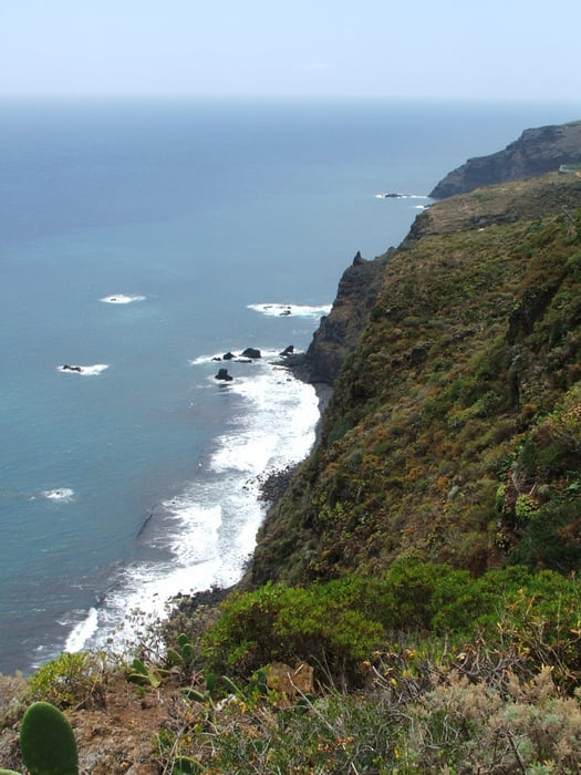
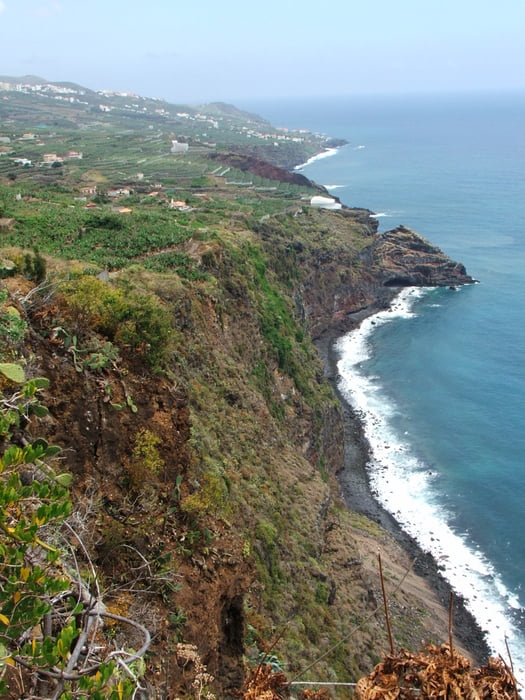
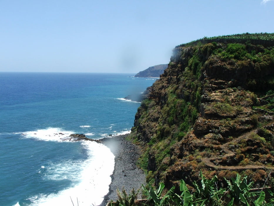
 Von Pantallana nach San Andrés auf dem Wanderweg GR130.


Tour gallery

Tour map and elevation profile

  • Open Street Map
  • Google
Minimum height 16 m Maximum height 431 m Detailed view

More about the tour author

lothardomnik
Member since 2009

Send private message

Comments

Sporadische Busverbindung von San Andrés nach Los Sauces: Linie 12.
Buslinie 2 von Los Sauces nach Puntallana montags bis freitags stündlich, samstags und sonntags alle zwei Stunden.

GPS tracks

Trackpoints
  • GPX / Garmin Map Source (gpx) download
  • TCX / Garmin Training Center® (tcx) download
  • CRS / Garmin Training Center® (crs) download
  • Google Earth (kml) download
  • G7ToWin (g7t) download
  • TTQV (trk) download
  • Overlay (ovl) download
  • Fugawi (txt) download
  • Kompass (DAV) Track (tk) download
  • Track data sheet (pdf) download
  • Original file of the author (gpx) download

More about the tour author

lothardomnik
Member since 2009

Send private message
Share track
Add to my favorites
Remove from my favorites
Edit tags
My score
Rate
Track: La Palma: Puntallana - San Andrés
Type: Mountain hiking
Distance: 12,2 km
Evaluated on:
Duration:
Day(s)
Hour(s)
Minute(s)
Score: Landscape Fun factor Fitness Technique