Login

Forgot your login?

Cookies have to be accepted!
Your browser's cookie functionality is disabled. Please enable this functionality.

Not a member yet?

Register now
Login

Available for registred users only

Log in to use this feature.

Forgot your login?

Cookies have to be accepted!
Your browser's cookie functionality is disabled. Please enable this functionality.

Not a member yet?

Register now
Filter
Categories
Advanced filters
  • Distance (km)
  • Height
Save filters Reset filter

TrackRank

QRCode

Technical data

Distance7,5 km Height454 m Way down434 m Duration02:00 h:m Date07.07.2010
Scores Author Landscape Fun factor Fitness Technique

Statistics

1536 Views Scores 115 Downloads Average
Rate
  • Track data sheet
  • Directions
  • Downloads

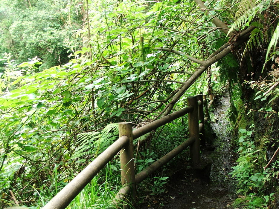
Wegverlauf: La Galga - Mirador de Somada Alta - Cubo de La Galga - La Galga


Tour gallery

Tour map and elevation profile

  • Open Street Map
  • Google
Minimum height 401 m Maximum height 793 m Detailed view

More about the tour author

lothardomnik
Member since 2009

Send private message

Comments

La Galga ist mit der Buslinie 2 zu erreichen, die montags bis freitags stündlich, samstags und sonntags alle zwei Stunden zwischen Santa Cruz und Barlovento verkehrt.
 

GPS tracks

Trackpoints
  • GPX / Garmin Map Source (gpx) download
  • TCX / Garmin Training Center® (tcx) download
  • CRS / Garmin Training Center® (crs) download
  • Google Earth (kml) download
  • G7ToWin (g7t) download
  • TTQV (trk) download
  • Overlay (ovl) download
  • Fugawi (txt) download
  • Kompass (DAV) Track (tk) download
  • Track data sheet (pdf) download
  • Original file of the author (gpx) download

More about the tour author

lothardomnik
Member since 2009

Send private message
Share track
Add to my favorites
Remove from my favorites
Edit tags
My score
Rate
Track: La Palma: Cubo de La Galga
Type: Mountain hiking
Distance: 7,5 km
Evaluated on:
Duration:
Day(s)
Hour(s)
Minute(s)
Score: Landscape Fun factor Fitness Technique