

Landschaftlich sicherlich eine der schönsten TOuren der Region!
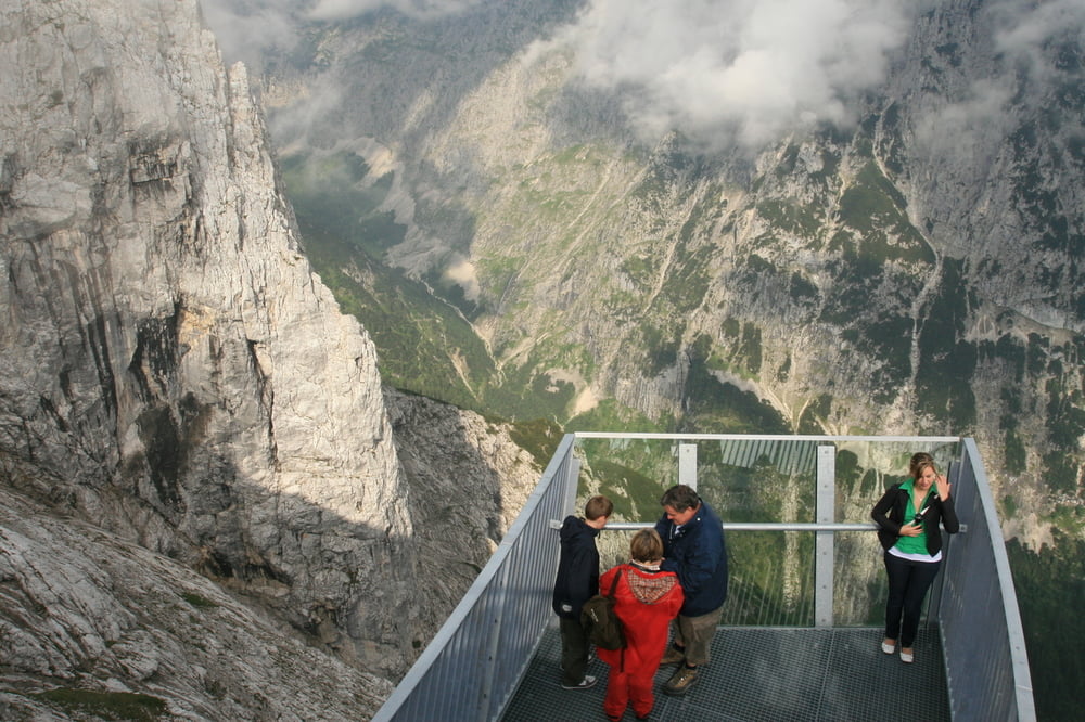
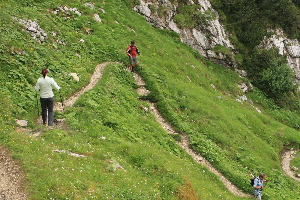
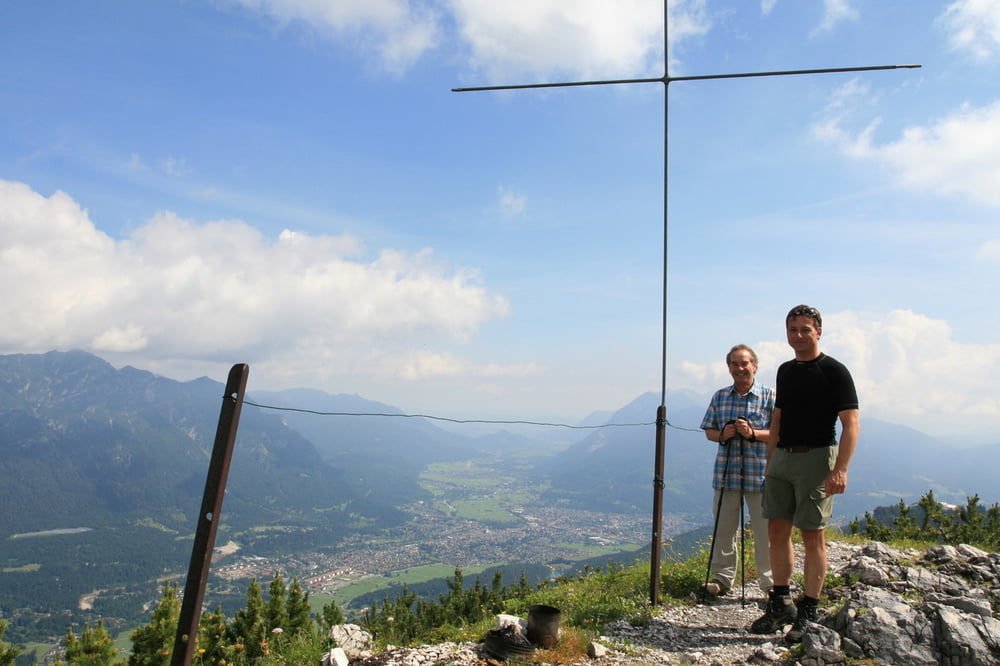
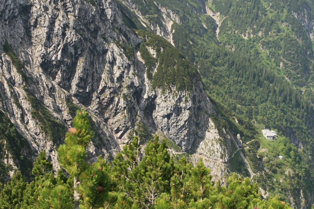
Mit der Alpspitzbahn fahren wir bis auf 2050 Meter. Nach einem Besuch des ALPSPIXX geht es dann in Richtung Hupfleitenjoch. Hier besteigen wir einen netten Aussichtsgipfel ehe es an den Knappenhäusern vorbei zur Höllentalangerhütte geht. Nach einer gemütlichen Mittagspause wandern wir durch die Klamm zurück nach Hammersbach und von dort in einer Viertelstunde zurück zum Parkplatz.
Einkehrmöglichkeiten:
Höllentalangerhütte (landschaftlich sehr schön, Essen OK, Preise hoch)
Höllentalklammeingangshütte (mit Abstand das beste Essen - gute Preise, Geheimtipp: Blaubeerpfannkuchen)
Further information at
http://www.eibsee-hotel.deTour gallery

Tour map and elevation profile
Minimum height 730 m
Maximum height 2333 m
More about the tour author
|
|
EIBSEE-HOTEL |
Comments

Ausgangspunkt der Tour ist an der Talstation der Alpspitzbahn
GPS tracks
Trackpoints-
GPX / Garmin Map Source (gpx) download
-
TCX / Garmin Training Center® (tcx) download
-
CRS / Garmin Training Center® (crs) download
-
Google Earth (kml) download
-
G7ToWin (g7t) download
-
TTQV (trk) download
-
Overlay (ovl) download
-
Fugawi (txt) download
-
Kompass (DAV) Track (tk) download
-
Track data sheet (pdf) download
-
Original file of the author (gpx) download
More about the tour author
|
|
EIBSEE-HOTEL |
Add to my favorites
Remove from my favorites
Edit tags
Open track
My score
Rate