Login

Forgot your login?

Cookies have to be accepted!
Your browser's cookie functionality is disabled. Please enable this functionality.

Not a member yet?

Register now
Login

Available for registred users only

Log in to use this feature.

Forgot your login?

Cookies have to be accepted!
Your browser's cookie functionality is disabled. Please enable this functionality.

Not a member yet?

Register now
Filter
Categories
Advanced filters
  • Distance (km)
  • Height
Save filters Reset filter

TrackRank

QRCode

Technical data

Distance72,3 km Height2328 m Way down2328 m Duration00:00 h:m Date09.07.2010
Scores Author User Landscape Fun factor Fitness Technique

Statistics

3517 Views 3 Scores 444 Downloads 3.00 Average
Rate
  • Track data sheet
  • Directions
  • Downloads

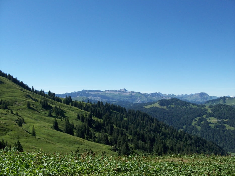
Große MTB-Runde um die Nagelfluhkette (überwiegend asphaltiert)

  • Start: Immenstadt-Parkplatz Mittagsbahn (735m) > gebührenpflichtig
  • Ettensberg - Gunzesrieder Tal - Obere Wilhelminen Alpe (1515m)
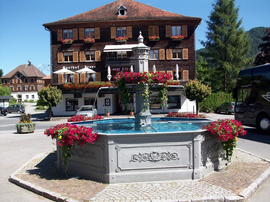
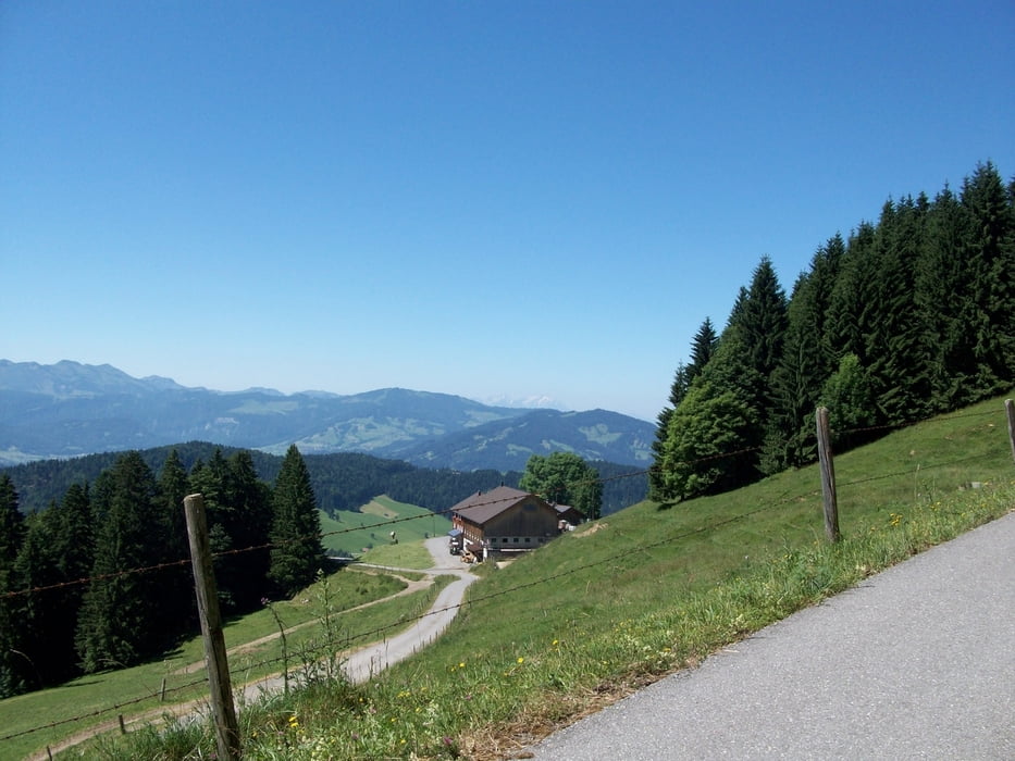
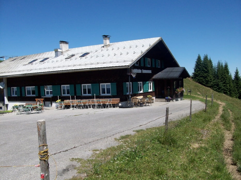
  • Balderschwanger Tal - Hittisau-Bolgenach (752m) - Imbißstube Hennenmoos (1319m)
  • Imberghaus (1218m)  - steile Schotterabfahrt zur Talstation der Imbergbahn
  • Steibis - Oberstaufen-Weißach (662m) - Salmas - Radweg um den  Alpsee 
  • Parkplatz Mittagsbahn

Tour gallery

Tour map and elevation profile

  • Open Street Map
  • Google
Minimum height 657 m Maximum height 1532 m Detailed view

More about the tour author

Staudenbiker
Member since 2009

Send private message

Comments

LotharHeim on 11.08.2014

Tolle Tour

Wir sind mit dem Zug nach Immenstadt angereist und daher nur bis Oberstaufen geradelt.
Die Tour ist wunderschön.
Es fehlen aber leider die trails....

GPS tracks

Trackpoints
  • GPX / Garmin Map Source (gpx) download
  • TCX / Garmin Training Center® (tcx) download
  • CRS / Garmin Training Center® (crs) download
  • Google Earth (kml) download
  • G7ToWin (g7t) download
  • TTQV (trk) download
  • Overlay (ovl) download
  • Fugawi (txt) download
  • Kompass (DAV) Track (tk) download
  • Track data sheet (pdf) download
  • Original file of the author (gpx) download

More about the tour author

Staudenbiker
Member since 2009

Send private message
Share track
Add to my favorites
Remove from my favorites
Edit tags
My score
Rate
Track: Nagelfluh-Umrundung
Type: Mountain bike
Distance: 72,3 km
Evaluated on:
Duration:
Day(s)
Hour(s)
Minute(s)
Score: Landscape Fun factor Fitness Technique