


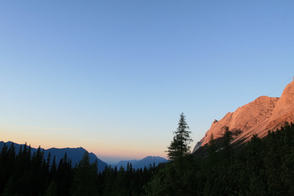
Herrliche Sonnenuntergangstour mit tollem Ausblick nach Westen!
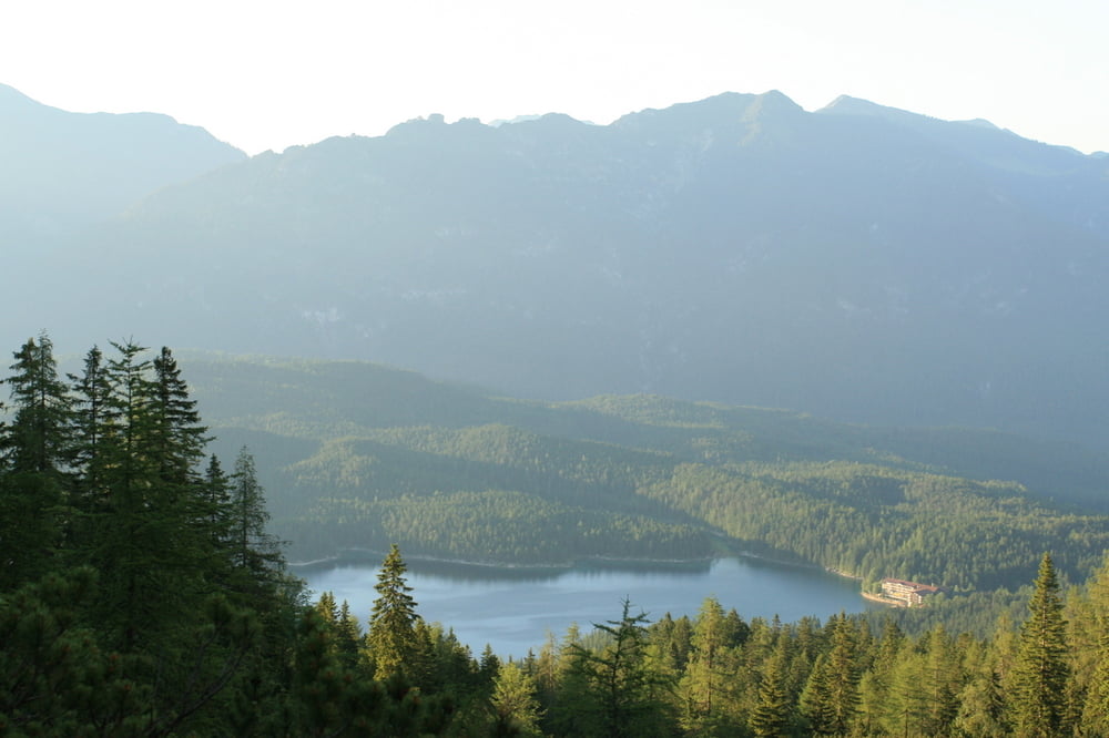
Die Tour beginnt direkt am Eibsee-Hotel. Auf einem schönen Weglein wandern wir ca 650 Höhenmeter Richtung Wiener Neustätter Hütte. Oberhalb des Hochthörlen hat man hier einen fantastischen Blick, nur Berge, Berge, Berge! Nach einer zünftigen Brotzeit gehts dann auf dem breiten Forstweg wieder zurück ins Tal.
Übrigens: Momentan sieht man hier unglaublich viele Glühwürmchen!
Further information at
http://www.eibsee-hotel.deTour gallery


Tour map and elevation profile
Minimum height 753 m
Maximum height 1637 m
More about the tour author
|
|
EIBSEE-HOTEL |
Comments

Ausgangspunkt der Tour ist direkt am Eibsee-Hotel.
GPS tracks
Trackpoints-
GPX / Garmin Map Source (gpx) download
-
TCX / Garmin Training Center® (tcx) download
-
CRS / Garmin Training Center® (crs) download
-
Google Earth (kml) download
-
G7ToWin (g7t) download
-
TTQV (trk) download
-
Overlay (ovl) download
-
Fugawi (txt) download
-
Kompass (DAV) Track (tk) download
-
Track data sheet (pdf) download
-
Original file of the author (gpx) download
More about the tour author
|
|
EIBSEE-HOTEL |
Add to my favorites
Remove from my favorites
Edit tags
Open track
My score
Rate