
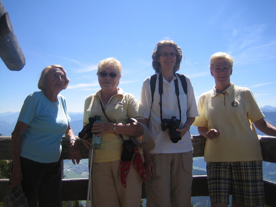

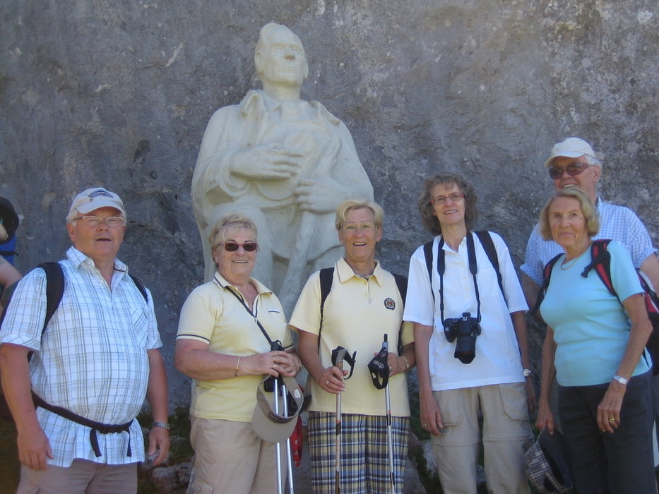
Leichte Wanderung bis zum Friedenskircherl, wunderschöne Aussicht in Ennstal, die Steig wird ab dem Peter Rosegger Denkmal ein wenig schwerer. Trotzdem ist der Gipfl des Stoderzinken (2048 m) auch für Familien mit Kinder gut erreichbar. Über Brünnerweg Absteigen bis zur Hütte (ca. 30 min) dann weiter bis zum Ausgangspunkt. Sehr schöne Alpine Tour ohne große Schwierigkeiten, mit herrlicher Aussicht.
Further information at
http://www.hotel-annelies.atTour gallery
Tour map and elevation profile
Minimum height 1718 m
Maximum height 2047 m
More about the tour author
|
|
Hotel_Annelies |
Comments

Auffahrt von Gröbming über die mautfreie Alpenstraße (ca. 10 km) sehr steile und schmale Bergstraße.
GPS tracks
Trackpoints-
GPX / Garmin Map Source (gpx) download
-
TCX / Garmin Training Center® (tcx) download
-
CRS / Garmin Training Center® (crs) download
-
Google Earth (kml) download
-
G7ToWin (g7t) download
-
TTQV (trk) download
-
Overlay (ovl) download
-
Fugawi (txt) download
-
Kompass (DAV) Track (tk) download
-
Track data sheet (pdf) download
-
Original file of the author (gpx) download
More about the tour author
|
|
Hotel_Annelies |
Add to my favorites
Remove from my favorites
Edit tags
Open track
My score
Rate