
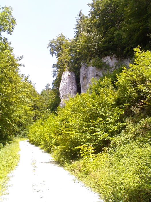

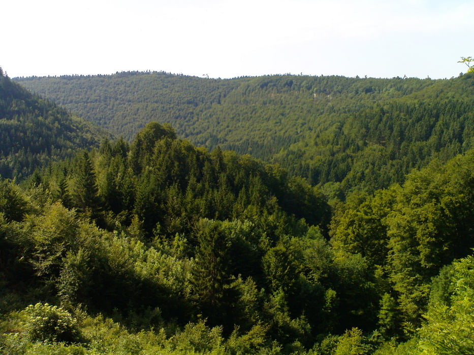
Balgheim - Breite Steige - Hirnbühl - Trail zw. Parkplatz und Steinbruch -kurz Straße rechts -nach 150 m links in Wald (trail) - Straße nach Risiberg - Feldweg links einbiegen - Risiberg - Ursentalhangweg - nach Rechtskurve und bergan links in schmalen steilen Waldweg hinunter ins Ursental abbiegen - Ursental links - Aggenhausener Skihang - an Skihütte vorbei bergan in den Wald - Böttingen - Industriegebiet - Dreifaltigkeitsberg - auf Straße abwärts nach erster Kehre Bald links in den Wald auf schmalen Weg abbiegen - Balgheim
Tour gallery
Tour map and elevation profile
Minimum height 678 m
Maximum height 982 m
More about the tour author

|
JV |
Comments

Start ist in Balgheim, Nähe Barfußpark
GPS tracks
Trackpoints-
GPX / Garmin Map Source (gpx) download
-
TCX / Garmin Training Center® (tcx) download
-
CRS / Garmin Training Center® (crs) download
-
Google Earth (kml) download
-
G7ToWin (g7t) download
-
TTQV (trk) download
-
Overlay (ovl) download
-
Fugawi (txt) download
-
Kompass (DAV) Track (tk) download
-
Track data sheet (pdf) download
-
Original file of the author (gpx) download
More about the tour author
|
|
JV |
Add to my favorites
Remove from my favorites
Edit tags
Open track
My score
Rate