
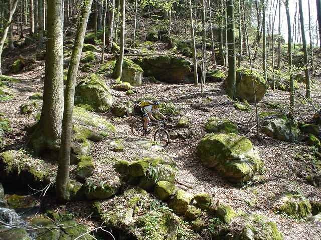

Die Tour entspricht dem offiziellen Granitmarathon von Kleinzell. Nachdem die Streck zum Teil über nicht freigegebene Abschnitte verläuft (z.T. auch Privatgrundstücke) sollte man nur Abschnitte daraus befahren. Mit dieser Einschränkung ist es ein toller Marathon mit kniffligen Trails und schönen Ausblicken auf die Mühlviertler Landschaft. Ein Highlight: der Weg entlang der großen Mühl.
Tour map and elevation profile
Minimum height 339 m
Maximum height 587 m
More about the tour author
|
|
ingo |
Comments

Von Aschach in OÖ. über die Donaubrücke nach St. Martin und weiter nach Neufelden. Kurz vor Neufelden links nach Kleinzell abzweigen. Start ist bei der Kirch. Dem Track nach Norden folgen.
GPS tracks
Trackpoints-
GPX / Garmin Map Source (gpx) download
-
TCX / Garmin Training Center® (tcx) download
-
CRS / Garmin Training Center® (crs) download
-
Google Earth (kml) download
-
G7ToWin (g7t) download
-
TTQV (trk) download
-
Overlay (ovl) download
-
Fugawi (txt) download
-
Kompass (DAV) Track (tk) download
-
Track data sheet (pdf) download
-
Original file of the author (g7t) download
More about the tour author
|
|
ingo |
Add to my favorites
Remove from my favorites
Edit tags
Open track
My score
Rate