


Tour mehrheitlich auf Nebenstrassen, Wald- und Feldwegen. Gestartet wird Richtung Oberthurgau, dann gehts gegen Bischoffszell zu, der Sitter entlang. Ein kleiner satter Anstieg führt uns zu den Hauptwiler Weihern, anschliessend gehts dem Golfplatz entlang nach Ronwil. Dort überqueren wir die Hauptstrasse und halten uns steil aufwärts Richtung Andwil. Von dort fahren wir zum Andwilermoos und über den Tannenberg runter nach Bernhardzell und von dort zurück nach Wittenbach.
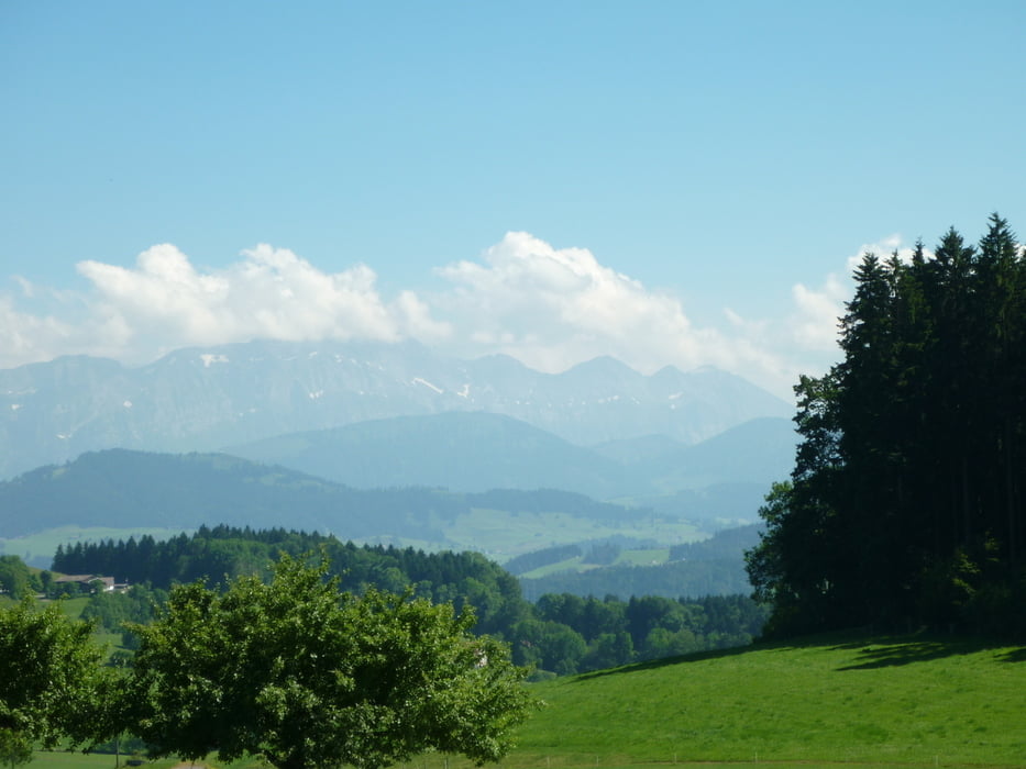
Tour gallery
Tour map and elevation profile
Minimum height 477 m
Maximum height 887 m
More about the tour author

|
roliwelte |
Comments

Start beim Al Covo / Abacusparkplatz
GPS tracks
Trackpoints-
GPX / Garmin Map Source (gpx) download
-
TCX / Garmin Training Center® (tcx) download
-
CRS / Garmin Training Center® (crs) download
-
Google Earth (kml) download
-
G7ToWin (g7t) download
-
TTQV (trk) download
-
Overlay (ovl) download
-
Fugawi (txt) download
-
Kompass (DAV) Track (tk) download
-
Track data sheet (pdf) download
-
Original file of the author (gpx) download
More about the tour author
|
|
roliwelte |
Add to my favorites
Remove from my favorites
Edit tags
Open track
My score
Rate