


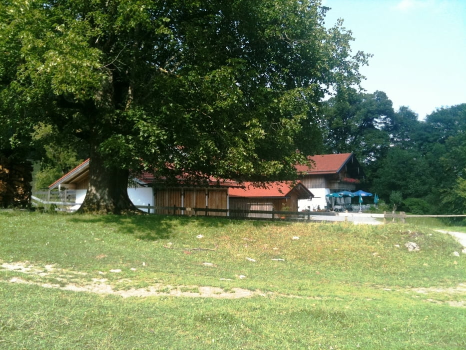
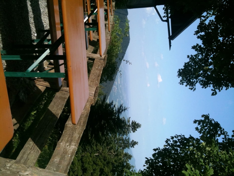
Schöne Tour bei schattiger Auffahrt. Teilweise steile Passagen auch auf Asphalt. Viele Einkehrmöglichkeiten. Ich habe einen kleinen Abstecher zum Berggasthof Schweinsteig eingelegt. Die Aussicht hat sich gelohnt. Auch der Schlipfgrup und mit wunderschönenm Ausblick natürlich auf der Schuhbräüalm einkehren. Die Abfahrt in Richrung Bad Feilnbach ist mit sensationellem Panorama auf den Wendelstein und die ganze Bergkette gekrönt. Teilweise Abfahrt durch den Wald zauberhaft und über Wiesen.
Kann ich auch als Abendtour nur empfehlen.
Tour gallery
Tour map and elevation profile
Minimum height 445 m
Maximum height 1146 m
More about the tour author

|
tracking |
Comments

Zug von München nach Rosenheim - Umsteigen in den Zug nach Kufstein und Brannenburg aussteigen.
GPS tracks
Trackpoints-
GPX / Garmin Map Source (gpx) download
-
TCX / Garmin Training Center® (tcx) download
-
CRS / Garmin Training Center® (crs) download
-
Google Earth (kml) download
-
G7ToWin (g7t) download
-
TTQV (trk) download
-
Overlay (ovl) download
-
Fugawi (txt) download
-
Kompass (DAV) Track (tk) download
-
Track data sheet (pdf) download
-
Original file of the author (gpx) download
More about the tour author
|
|
tracking |
Add to my favorites
Remove from my favorites
Edit tags
Open track
My score
Rate