


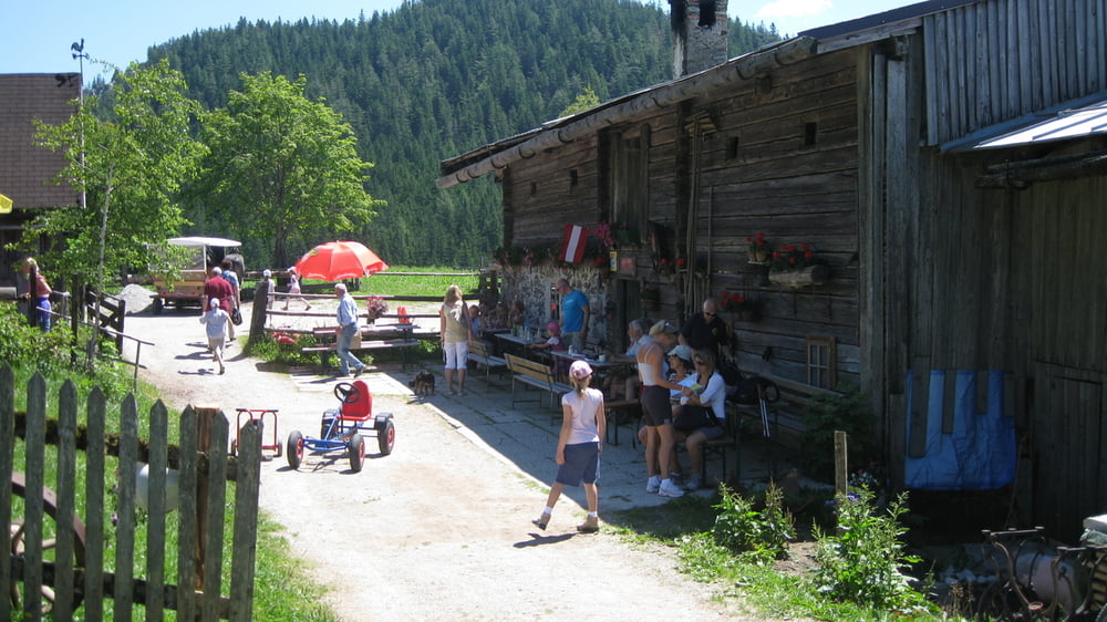
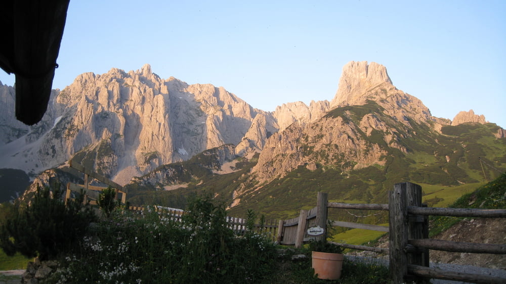
Von Oberwinkl die Stoderstrasse entlang über die Assacher Scharte ( ca 30 min Schieben ) Assach-der Enns entlang nach Weißenbach-Birnberg-Leiten-Kulm-Ramsau zu den urigen Almen Halserberg,Sonnen oder Ochsenalm jede für sich traumhaft! Weiter zum Mandling -Stausee nach Filzmoos ins Hinterwinkeltal über den Marcheggsattel-Neuberg langer Anstieg Arzbergalm-Sulzkaralm ( ca 35 min schieben ) zur Mahdalm-Loseggalm.Tipp: Hier die Übernachtung einplanen da ist es urig,günstig und es gibt gute Jause und Frühstück. Das Panorama ist sehenswert und unbeschreiblich schön.
Tour gallery


Tour map and elevation profile
Minimum height 661 m
Maximum height 1527 m
More about the tour author
|
|
rudolfo |
Comments

GPS tracks
Trackpoints-
GPX / Garmin Map Source (gpx) download
-
TCX / Garmin Training Center® (tcx) download
-
CRS / Garmin Training Center® (crs) download
-
Google Earth (kml) download
-
G7ToWin (g7t) download
-
TTQV (trk) download
-
Overlay (ovl) download
-
Fugawi (txt) download
-
Kompass (DAV) Track (tk) download
-
Track data sheet (pdf) download
-
Original file of the author (gpx) download
More about the tour author
|
|
rudolfo |
Add to my favorites
Remove from my favorites
Edit tags
Open track
My score
Rate