


Wundervolle Tour die von Buchholz durch die Nordheide nach Cranz führt.
Start der Tour ist der Bahnhof Buchholz.
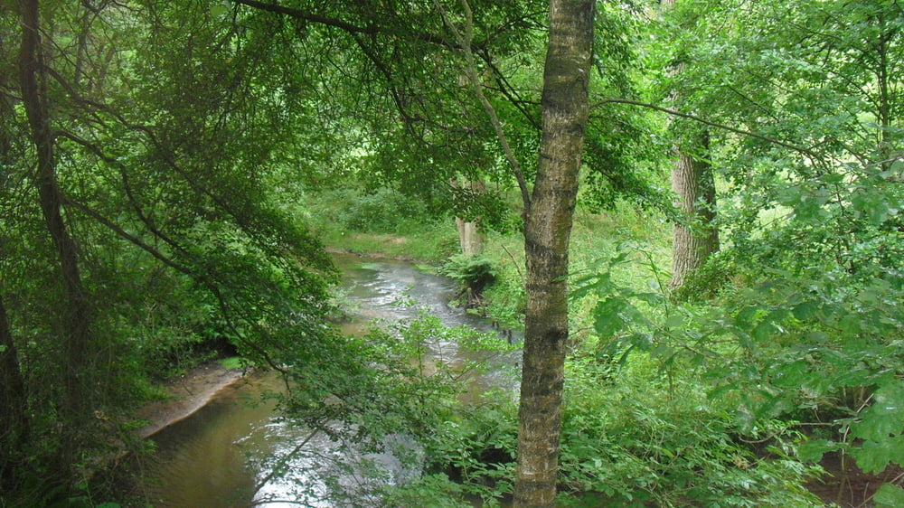
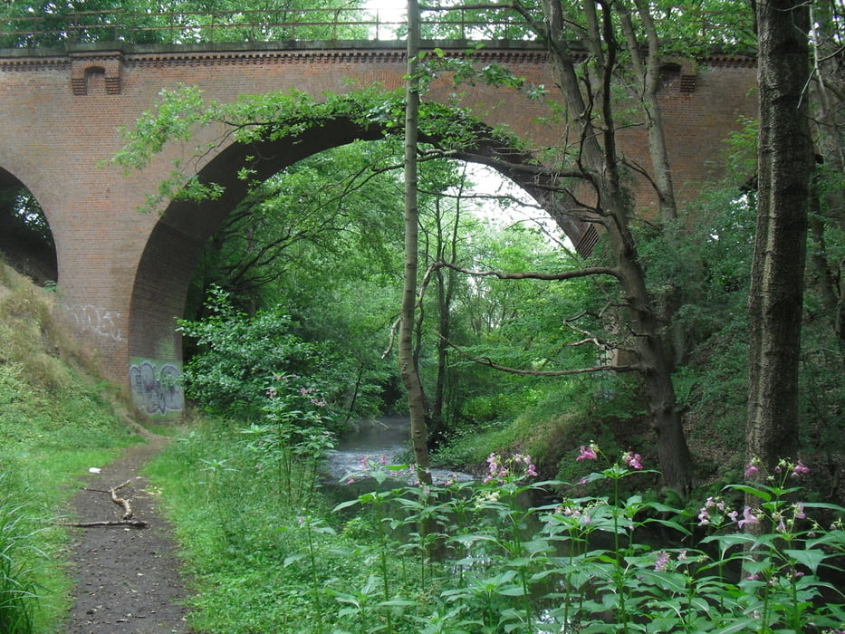
Das erste Etappenziel ist die Este - auf diesen zunächst bescheiden plätschernden Bach stößt man nach etwa 10km bei Bötersheim. Nun folgt der Track über weite Teile der Este bis Hollenstedt. Weiter geht es über Holtforf uznd Regesbostel bis Moisburg wo man wiedre auf die Este stößt. Im großen und Ganzen folgt man nun der Este bis Cranz! Dazwischen liegt u.a. noch Buxtehude. Hinter Buxtehude (sehenswerte Altstadt) fährt man fast immer am Deich lang. Bei Königreich habe ich die Uferseite gewechselt - würde das nächste Mal aber am Ostufer weiterfahren! In Cranz bin ich auf die Fähre Richtung Blankenese gesteigen und noch ein Stück an der Elbe weitergeradelt.
Sehr schöne Tour, wenngleich die Temperaturen jenseits der 30° C lagen!
Further information at
http://www.hh.deTour gallery


Tour map and elevation profile
Minimum height -79 m
Maximum height 103 m
More about the tour author
|
|
Folki |
Comments

Start. Bahnhof Buxtehude
Ziel: Cranz oder anderer Bahnhof im HVV
GPS tracks
Trackpoints-
GPX / Garmin Map Source (gpx) download
-
TCX / Garmin Training Center® (tcx) download
-
CRS / Garmin Training Center® (crs) download
-
Google Earth (kml) download
-
G7ToWin (g7t) download
-
TTQV (trk) download
-
Overlay (ovl) download
-
Fugawi (txt) download
-
Kompass (DAV) Track (tk) download
-
Track data sheet (pdf) download
-
Original file of the author (gpx) download
More about the tour author
|
|
Folki |
Add to my favorites
Remove from my favorites
Edit tags
Open track
My score
Rate