Login

Forgot your login?

Cookies have to be accepted!
Your browser's cookie functionality is disabled. Please enable this functionality.

Not a member yet?

Register now
Login

Available for registred users only

Log in to use this feature.

Forgot your login?

Cookies have to be accepted!
Your browser's cookie functionality is disabled. Please enable this functionality.

Not a member yet?

Register now
Filter
Categories
Advanced filters
  • Distance (km)
  • Height
Save filters Reset filter

TrackRank

QRCode

Technical data

Distance38,7 km Height1549 m Way down1513 m Duration00:00 h:m Date12.07.2010
Scores Author Landscape Fun factor Fitness Technique

Statistics

896 Views Scores 129 Downloads Average
Rate
  • Track data sheet
  • Directions
  • Downloads

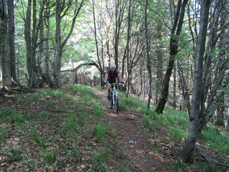
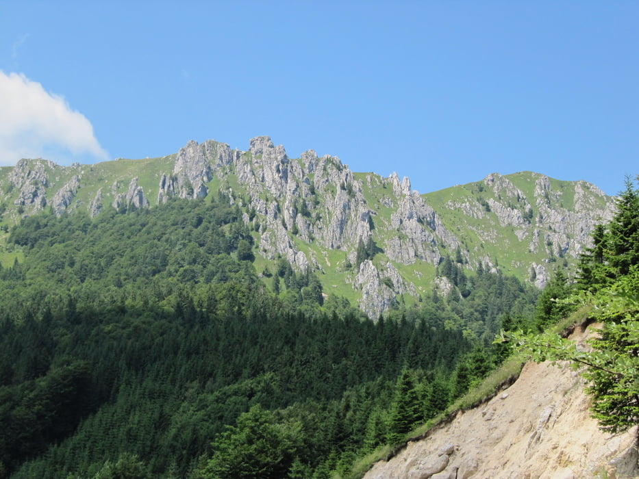
Lep vzpon do Dražgoš po asfaltu naprej pa makadam, zadnjih 200 vm po poti preko planine pečana nekaj rinjenja kolesa. Spust pa čez Razor mimo lovske koče proti Prtovču S5, S6 z mesti S7. S Prtovča pa dokaj strmih 200 vm na greben Povden, od tu pa zelo lep spust v Zali log, S5, S6.

Tour gallery

Tour map and elevation profile

  • Open Street Map
  • Google
Minimum height 331 m Maximum height 1645 m Detailed view

More about the tour author

BOR-M
Member since 2010

Send private message

Comments

GPS tracks

Trackpoints
  • GPX / Garmin Map Source (gpx) download
  • TCX / Garmin Training Center® (tcx) download
  • CRS / Garmin Training Center® (crs) download
  • Google Earth (kml) download
  • G7ToWin (g7t) download
  • TTQV (trk) download
  • Overlay (ovl) download
  • Fugawi (txt) download
  • Kompass (DAV) Track (tk) download
  • Track data sheet (pdf) download
  • Original file of the author (gpx) download

More about the tour author

BOR-M
Member since 2010

Send private message
Share track
Add to my favorites
Remove from my favorites
Edit tags
My score
Rate
Track: Ratitovec
Type: Mountain bike
Distance: 38,7 km
Evaluated on:
Duration:
Day(s)
Hour(s)
Minute(s)
Score: Landscape Fun factor Fitness Technique