Login

Forgot your login?

Cookies have to be accepted!
Your browser's cookie functionality is disabled. Please enable this functionality.

Not a member yet?

Register now
Login

Available for registred users only

Log in to use this feature.

Forgot your login?

Cookies have to be accepted!
Your browser's cookie functionality is disabled. Please enable this functionality.

Not a member yet?

Register now
Filter
Categories
Advanced filters
  • Distance (km)
  • Height
Save filters Reset filter

TrackRank

QRCode

Technical data

Distance17,0 km Height181 m Way down381 m Duration03:30 h:m Date13.07.2010
Scores Author Landscape Fun factor Fitness Technique

Statistics

130 Views Scores 9 Downloads Average
Rate
  • Track data sheet
  • Directions
  • Downloads

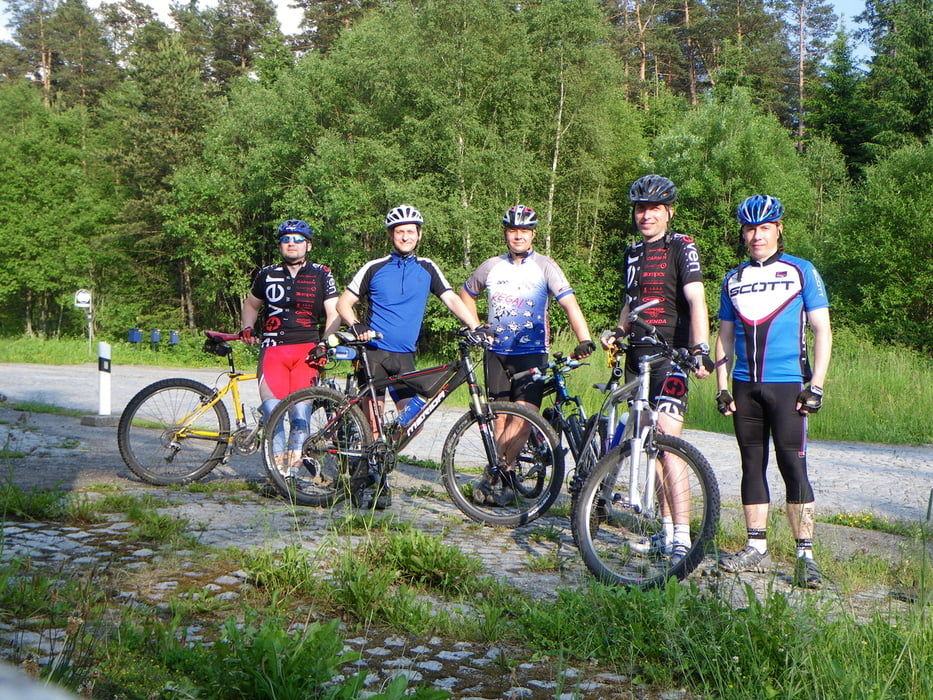
Stoupame z Hlavnovic pres Keply, po chvili dohadovani nachazime rozcesti, kde se loni ukoncila akce Okolo Vlasty 09. Par fotografii a stoupame po silnici na Hartmanice, abychom se na vrcholu dali po zelene znacce zpatky pres hreben do Hlavnovic, kde je ubytovani

Tour gallery

Tour map and elevation profile

  • Open Street Map
  • Google
Minimum height 670 m Maximum height 1009 m Detailed view

More about the tour author

Listansky
Member since 2009

Send private message

Comments

GPS tracks

Trackpoints
  • GPX / Garmin Map Source (gpx) download
  • TCX / Garmin Training Center® (tcx) download
  • CRS / Garmin Training Center® (crs) download
  • Google Earth (kml) download
  • G7ToWin (g7t) download
  • TTQV (trk) download
  • Overlay (ovl) download
  • Fugawi (txt) download
  • Kompass (DAV) Track (tk) download
  • Track data sheet (pdf) download
  • Original file of the author (gpx) download

More about the tour author

Listansky
Member since 2009

Send private message
Share track
Add to my favorites
Remove from my favorites
Edit tags
My score
Rate
Track: Okolo_Vlasty_10_Den0
Type: Mountain bike
Distance: 17,0 km
Evaluated on:
Duration:
Day(s)
Hour(s)
Minute(s)
Score: Landscape Fun factor Fitness Technique