Login

Forgotten password?

Cookies have to be accepted!
Your browser's cookie functionality is disabled. Please enable this functionality.

Not a member yet?

Register now
Login

Available for registred users only

Log in to use this feature.

Forgotten password?

Cookies have to be accepted!
Your browser's cookie functionality is disabled. Please enable this functionality.

Not a member yet?

Register now
Filter
Categories
Advanced filters
  • Distance (km)
  • Height
Save filters Reset filter

TrackRank

QRCode

Technical data

Distance17,0 km Height801 m Way down805 m Duration02:30 h:m Date13.07.2010
Scores Author Landscape Fun factor Fitness Technique

Statistics

751 Views Scores 62 Downloads Average
Rate
  • Track data sheet
  • Directions
  • Downloads

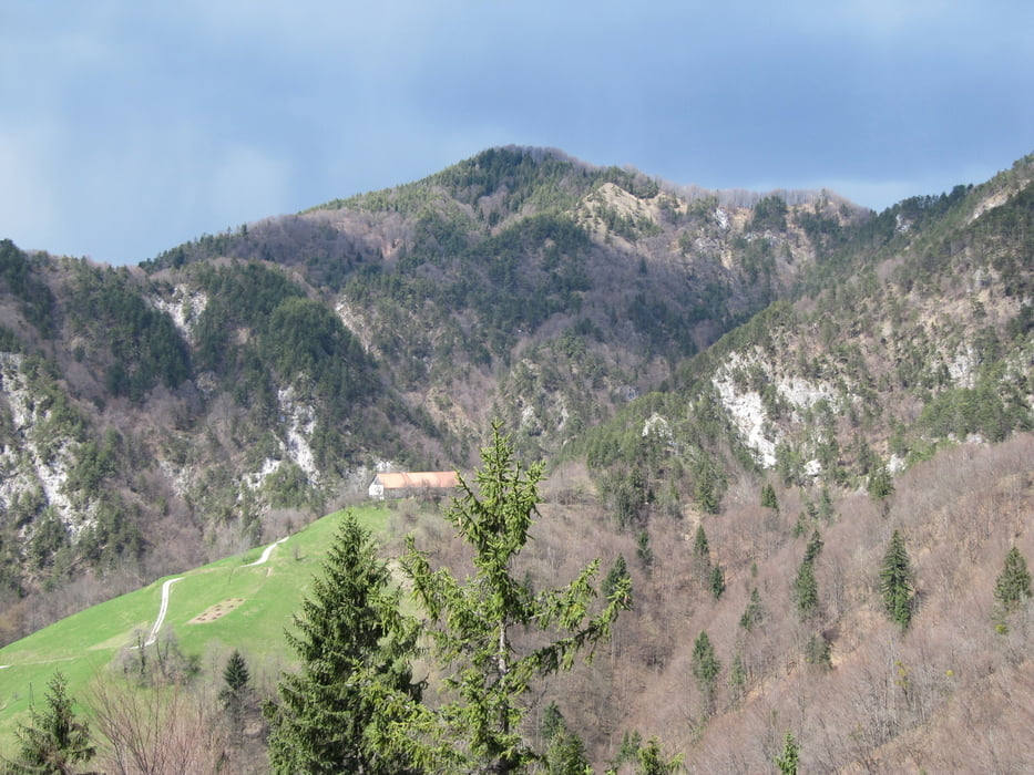
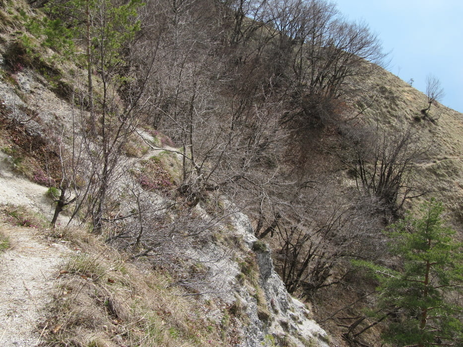
To je tura strmih vsponov, lepe prečke pod Grmado (nošenje kolesa 10 min) in lepih spustov po singlah S4 z mesti S5.

Tour gallery

Tour map and elevation profile

  • Open Street Map
  • Google
Minimum height 340 m Maximum height 777 m Detailed view

More about the tour author

BOR-M
Member since 2010

Send private message

Comments

GPS tracks

Trackpoints
  • GPX / Garmin Map Source (gpx) download
  • TCX / Garmin Training Center® (tcx) download
  • CRS / Garmin Training Center® (crs) download
  • Google Earth (kml) download
  • G7ToWin (g7t) download
  • TTQV (trk) download
  • Overlay (ovl) download
  • Fugawi (txt) download
  • Kompass (DAV) Track (tk) download
  • Track data sheet (pdf) download
  • Original file of the author (gpx) download

More about the tour author

BOR-M
Member since 2010

Send private message
Share track
Add to my favorites
Remove from my favorites
Edit tags
My score
Rate
Track: Pod polhograjsko Grmado
Type: Mountain bike
Distance: 17,0 km
Evaluated on:
Duration:
Day(s)
Hour(s)
Minute(s)
Score: Landscape Fun factor Fitness Technique