Login

Forgotten password?

Cookies have to be accepted!
Your browser's cookie functionality is disabled. Please enable this functionality.

Not a member yet?

Register now
Login

Available for registred users only

Log in to use this feature.

Forgotten password?

Cookies have to be accepted!
Your browser's cookie functionality is disabled. Please enable this functionality.

Not a member yet?

Register now
Filter
Categories
Advanced filters
  • Distance (km)
  • Height
Save filters Reset filter

TrackRank

QRCode

Technical data

Distance25,6 km Height1235 m Way down1210 m Duration02:30 h:m Date14.07.2010
Scores Author Landscape Fun factor Fitness Technique

Statistics

260 Views Scores 63 Downloads Average
Rate
  • Track data sheet
  • Directions
  • Downloads

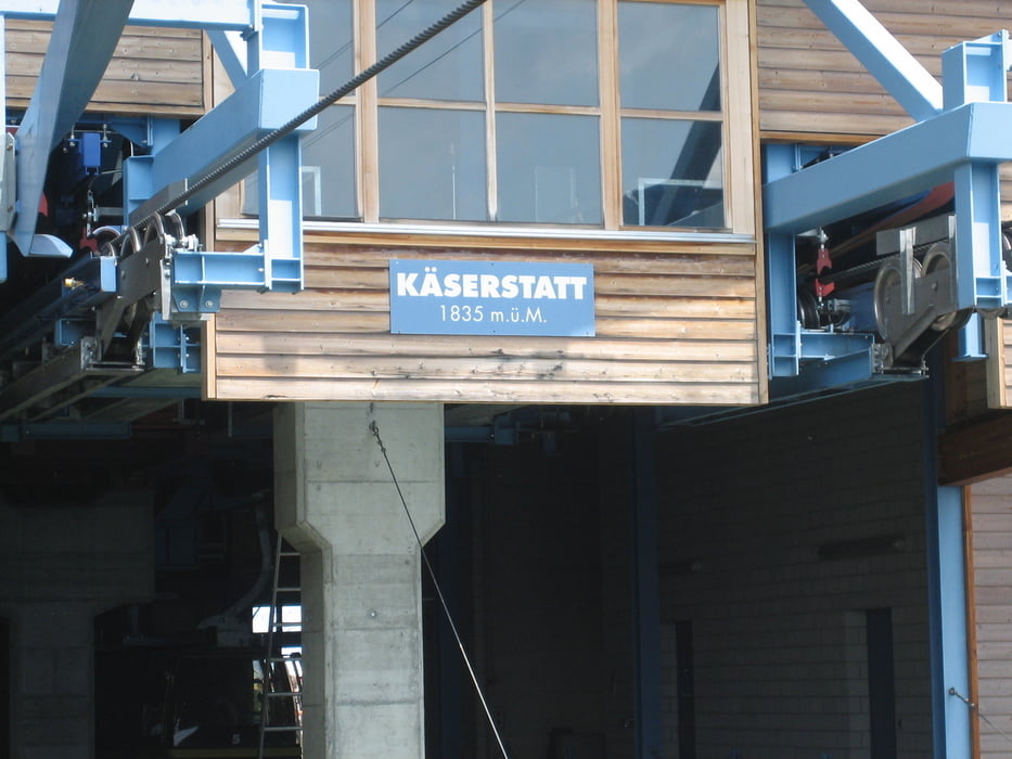
Meiringen-Hofluh-Alpbrücke-Käserstatt

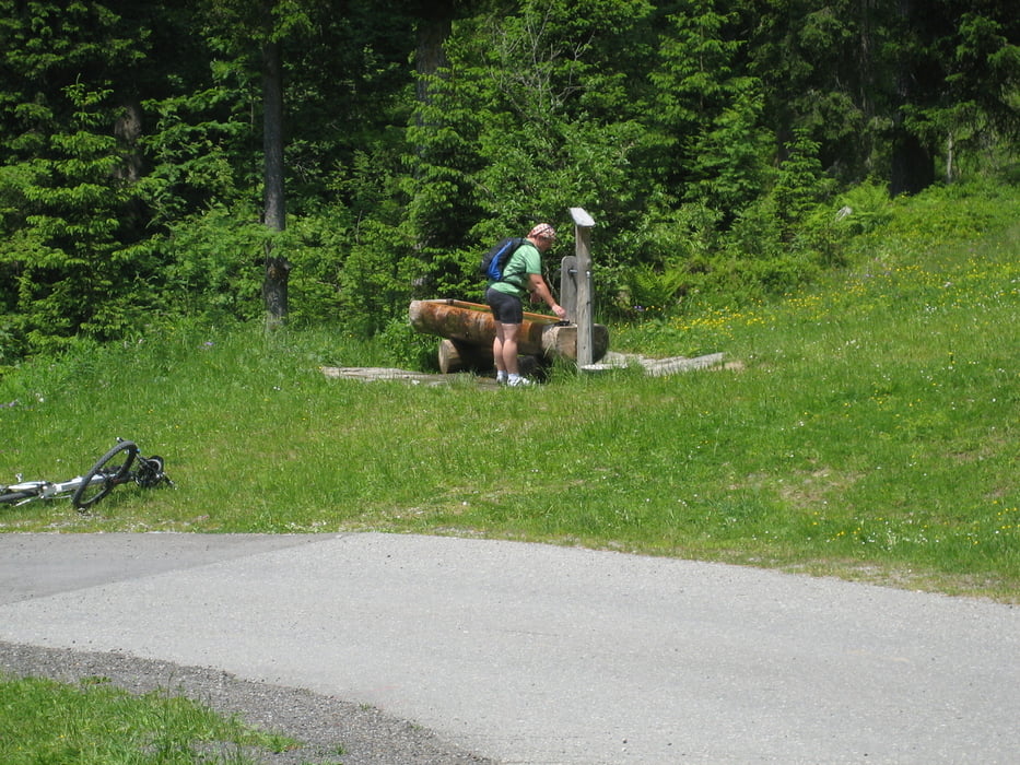
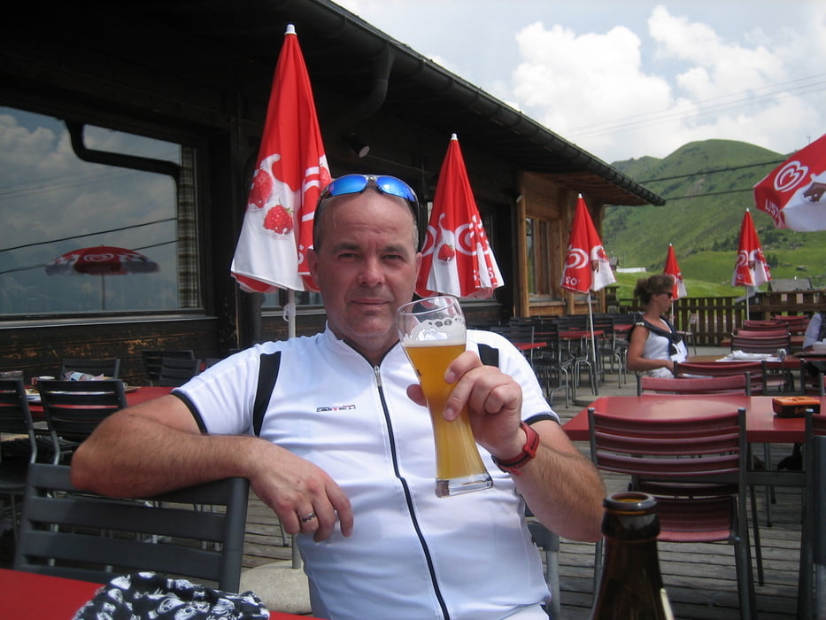
Diese Tour ist in der Alpenregion Schweiz ziemlich bekannt.Eine schöne Tour mit klasse Panorama,aber auch ein anstrengender Aufstieg.Dafür geniesst man dann oben auf der Terrasse des Bergrestaurant den herrlichen Ausblick auf die Bergwelt.

Tour gallery

Tour map and elevation profile

  • Open Street Map
  • Google
Minimum height 600 m Maximum height 1836 m Detailed view

More about the tour author

torti40
Member since 2009

Send private message

Comments

GPS tracks

Trackpoints
  • GPX / Garmin Map Source (gpx) download
  • TCX / Garmin Training Center® (tcx) download
  • CRS / Garmin Training Center® (crs) download
  • Google Earth (kml) download
  • G7ToWin (g7t) download
  • TTQV (trk) download
  • Overlay (ovl) download
  • Fugawi (txt) download
  • Kompass (DAV) Track (tk) download
  • Track data sheet (pdf) download
  • Original file of the author (gpx) download

More about the tour author

torti40
Member since 2009

Send private message
Share track
Add to my favorites
Remove from my favorites
Edit tags
My score
Rate
Track: zur Käserstatt
Type: Mountain bike
Distance: 25,6 km
Evaluated on:
Duration:
Day(s)
Hour(s)
Minute(s)
Score: Landscape Fun factor Fitness Technique