


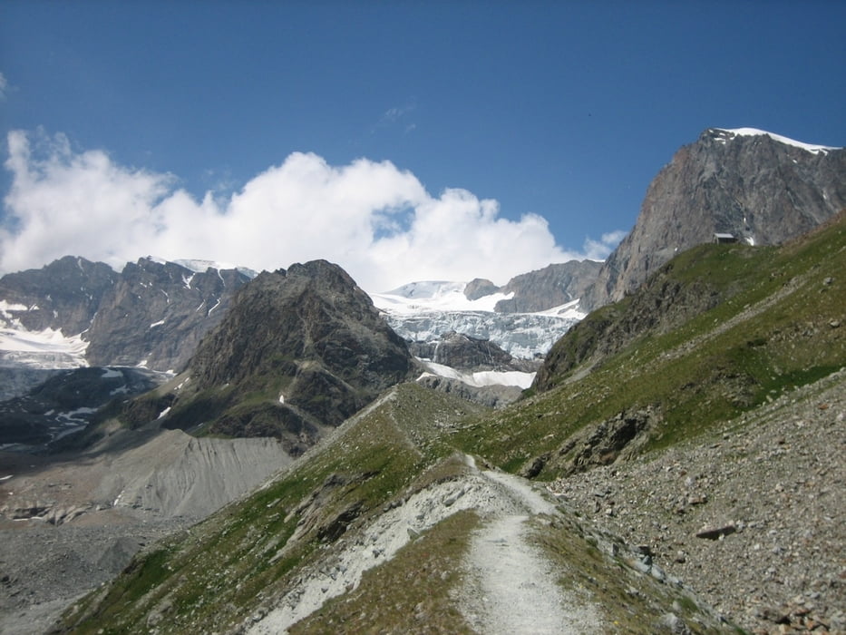
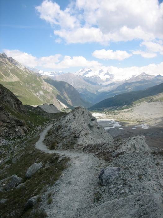
hochalpine Tour zur Schönbielhütte am Ende des Zmuttgletschers und am Rande der Matterhorn-Nordwand. Technik, Fahrvermögen und Kondition sind obligatorisch, ebenso Federweg. Die Tour ist abwärts nahezu vollständig fahrbar (einige ausgesetzte Stellen), hochwärts schultert man natürlich umso mehr, lohnt sich aber.
Start und Ziel ist der Bahnhof in Randa, hoch bis Zermatt gehts auf der einspurigen Fahrstraße (für Autos ohne Genehmigung gesperrt und 200 hm zum aufwärmen), runter nur auf Trails, v.a. der Bahnstreckentrail ist ein krönender Schluß.
Tour gallery

Tour map and elevation profile
Minimum height 1407 m
Maximum height 2720 m
More about the tour author

|
Pitcairn |
Comments

GPS tracks
Trackpoints-
GPX / Garmin Map Source (gpx) download
-
TCX / Garmin Training Center® (tcx) download
-
CRS / Garmin Training Center® (crs) download
-
Google Earth (kml) download
-
G7ToWin (g7t) download
-
TTQV (trk) download
-
Overlay (ovl) download
-
Fugawi (txt) download
-
Kompass (DAV) Track (tk) download
-
Track data sheet (pdf) download
-
Original file of the author (gpx) download
More about the tour author
|
|
Pitcairn |
Add to my favorites
Remove from my favorites
Edit tags
Open track
My score
Rate