Login

Forgot your login?

Cookies have to be accepted!
Your browser's cookie functionality is disabled. Please enable this functionality.

Not a member yet?

Register now
Login

Available for registred users only

Log in to use this feature.

Forgot your login?

Cookies have to be accepted!
Your browser's cookie functionality is disabled. Please enable this functionality.

Not a member yet?

Register now
Filter
Categories
Advanced filters
  • Distance (km)
  • Height
Save filters Reset filter

TrackRank

QRCode

Technical data

Distance35,3 km Height1153 m Way down1111 m Duration00:00 h:m Date14.07.2010
Scores Author Landscape Fun factor Fitness Technique

Statistics

616 Views Scores 151 Downloads Average
Rate
  • Track data sheet
  • Directions
  • Downloads

Von St. Moritz startend mit der Bergbahn zur Corvigilla Bergstation,, dann über die Piz Nair Flanke zum Suvrettapass, von dort Abfahrt ins Tal Bever und zurück nach St. Moritz
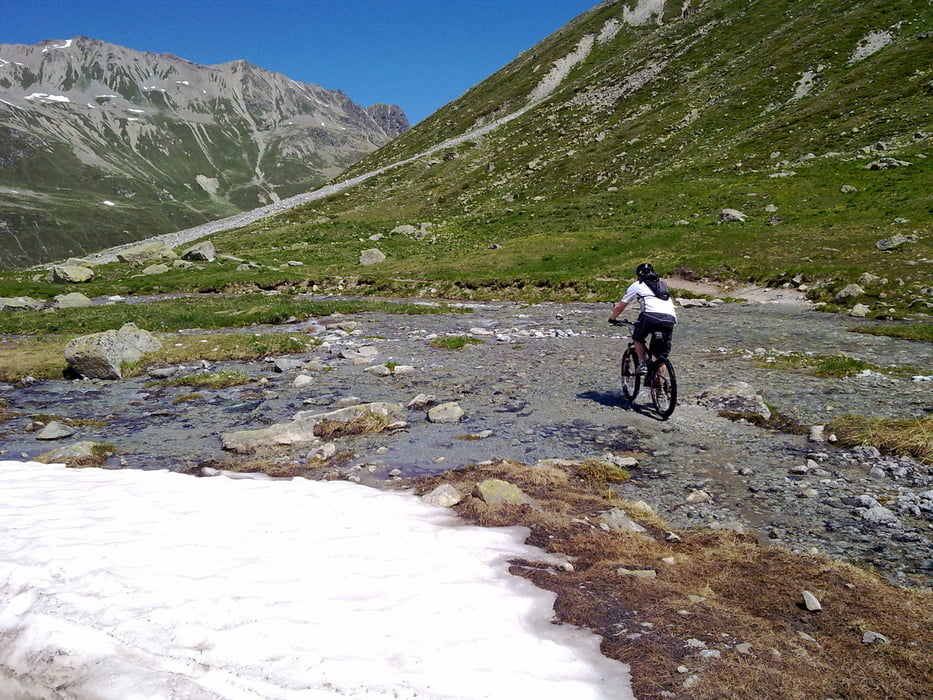


Tour gallery

Tour map and elevation profile

  • Open Street Map
  • Google
Minimum height 1731 m Maximum height 2689 m Detailed view

More about the tour author

HANSALP
Member since 2008

Send private message

Comments

St. Moritz  Bergbahn

GPS tracks

Trackpoints
  • GPX / Garmin Map Source (gpx) download
  • TCX / Garmin Training Center® (tcx) download
  • CRS / Garmin Training Center® (crs) download
  • Google Earth (kml) download
  • G7ToWin (g7t) download
  • TTQV (trk) download
  • Overlay (ovl) download
  • Fugawi (txt) download
  • Kompass (DAV) Track (tk) download
  • Track data sheet (pdf) download
  • Original file of the author (gpx) download

More about the tour author

HANSALP
Member since 2008

Send private message
Share track
Add to my favorites
Remove from my favorites
Edit tags
My score
Rate
Track: Suvretta Tour
Type: Mountain bike
Distance: 35,3 km
Evaluated on:
Duration:
Day(s)
Hour(s)
Minute(s)
Score: Landscape Fun factor Fitness Technique