


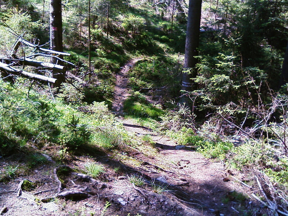
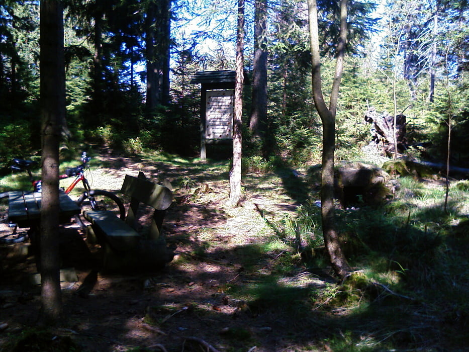
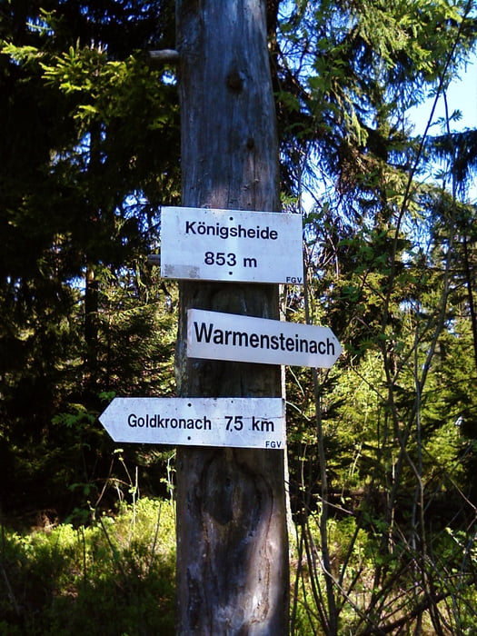
Die Tour beginnt in Goldkronach, verläuft bis Sickenreuth auf Asphalt ab dem Waldrand dann auf guter Waldpiste. Oben auf der Königsheide angekommen (bei Waldrevierstein oder Mahlsack) beginnt der erste Trail. Dann geht es kurz überden M-Weg(Piste) auf den S-Weg und schon ist man wieder auf einem Trail, alles downhill! Nach der 2. Querstraße links und dann 20m rechts beim Hochstand die Einfahrt S-Weg zum Fürstenstein nicht verpassen, Kurz Piste, kurz Asphalt und noch ein (letzter) Trail, der Häfners Berg beim Bauernhof Dietel links. Am Ende vorsicht Verkehr!
Viel Spass!
Tour gallery
Tour map and elevation profile
Minimum height 445 m
Maximum height 878 m
More about the tour author
|
|
berndhuber |
Comments

A9-Bayreuth nord- Goldkronach
GPS tracks
Trackpoints-
GPX / Garmin Map Source (gpx) download
-
TCX / Garmin Training Center® (tcx) download
-
CRS / Garmin Training Center® (crs) download
-
Google Earth (kml) download
-
G7ToWin (g7t) download
-
TTQV (trk) download
-
Overlay (ovl) download
-
Fugawi (txt) download
-
Kompass (DAV) Track (tk) download
-
Track data sheet (pdf) download
-
Original file of the author (gpx) download
More about the tour author
|
|
berndhuber |
Add to my favorites
Remove from my favorites
Edit tags
Open track
My score
Rate