


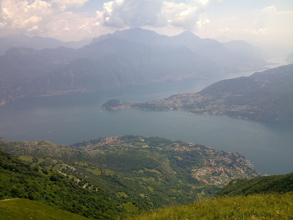
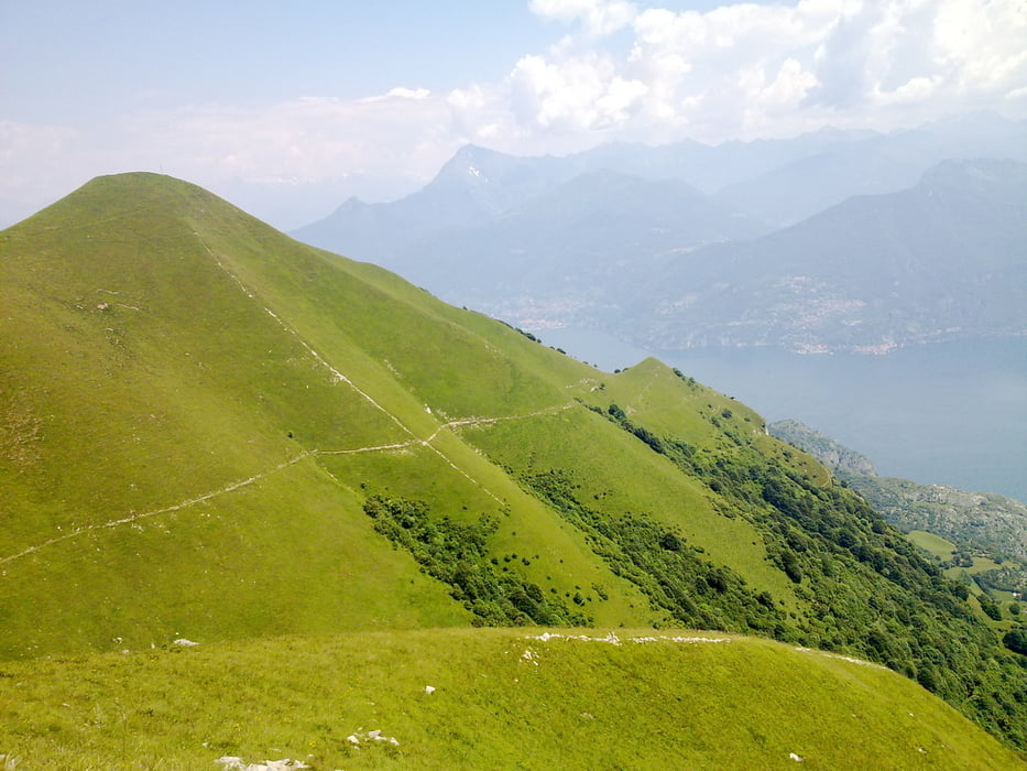
Und noch eine Urlaubsrunde, viel Teer, kann man gut mit einem Tourenrad fahren. Loß geht es in Schignano bergrunter ein paar Kilometer eben und dann hinauf nach San Rocco. Leichte Abfahrt nach Laino und dann ein stetiger Anstieg bis nach Ponna dort geht es dann auf Waldwegen weiter Ri Monto Tremezzo. Ab Rifugio Boffalora wieder ein Stück Teer dann wieder Schotter und Wiese bis zum Gipfel. Von dort ein herlicher Ausblick über die zwei Seen. Hinab ging es durch Pigra über Castiglione nach Agegno alles Teer. Am See einen Espresso und dann war ich gerüstet für die Auffahrt nach Schignano.
Tour gallery


Tour map and elevation profile
Minimum height 248 m
Maximum height 1690 m
More about the tour author
|
|
titanbiker |
Comments

GPS tracks
Trackpoints-
GPX / Garmin Map Source (gpx) download
-
TCX / Garmin Training Center® (tcx) download
-
CRS / Garmin Training Center® (crs) download
-
Google Earth (kml) download
-
G7ToWin (g7t) download
-
TTQV (trk) download
-
Overlay (ovl) download
-
Fugawi (txt) download
-
Kompass (DAV) Track (tk) download
-
Track data sheet (pdf) download
-
Original file of the author (gpx) download
More about the tour author
|
|
titanbiker |
Add to my favorites
Remove from my favorites
Edit tags
Open track
My score
Rate