


Hallo,
ich habe diese Tour mit einem Bekannten gefahren. Wir sind Istrup gestartet und gegen den Uhrzeigersinn gefahren. Man kann sie aber von überall aus beginnen. Da mir die Tour sehr gefallen hat, lade ich sie nun hier hoch. Die Anstiege sind teils ziemlich heftig, zwar nicht unbedingt übermäßig steil, aber der Untergrund raubt einen schon etwas die Kräfte aus den Beinen,.... mir jedenfalls..... ;-).....
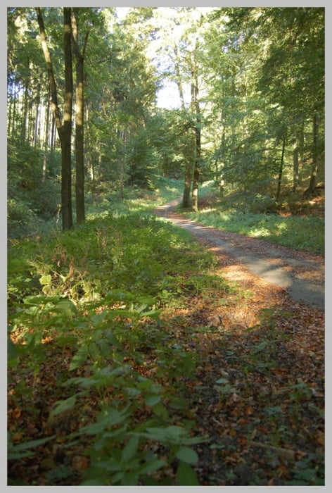
Es geht durch viele Wälder und gibt sehr schöne typisch Lippische Landschaften zu sehen, kleine Dörfer, schöne Bauernhöfe und viel Felder und Wiesen.
Einen schönen Überblick der Tour hat man z.B. mit Google Earth.
Viel Spaß beim Biken !
Tour gallery
Tour map and elevation profile
Minimum height 117 m
Maximum height 328 m
More about the tour author
|
|
Marc_S |
Comments
Wir sind in Istrup gestartet, Parkmöglichkeiten sind dort in den Wohnsiedlungen ausreichend vorhanden.
GPS tracks
Trackpoints-
GPX / Garmin Map Source (gpx) download
-
TCX / Garmin Training Center® (tcx) download
-
CRS / Garmin Training Center® (crs) download
-
Google Earth (kml) download
-
G7ToWin (g7t) download
-
TTQV (trk) download
-
Overlay (ovl) download
-
Fugawi (txt) download
-
Kompass (DAV) Track (tk) download
-
Track data sheet (pdf) download
-
Original file of the author (gpx) download
More about the tour author
|
|
Marc_S |
Add to my favorites
Remove from my favorites
Edit tags
Open track
My score
Rate
Tour
War ne coole Tour. Nächstes mal gerne wieder!!!
Gruß Olli