Login

Forgot your login?

Cookies have to be accepted!
Your browser's cookie functionality is disabled. Please enable this functionality.

Not a member yet?

Register now
Login

Available for registred users only

Log in to use this feature.

Forgot your login?

Cookies have to be accepted!
Your browser's cookie functionality is disabled. Please enable this functionality.

Not a member yet?

Register now
Filter
Categories
Advanced filters
  • Distance (km)
  • Height
Save filters Reset filter

TrackRank

QRCode

Technical data

Distance110,7 km Height270 m Way down316 m Duration04:00 h:m Date19.07.2010
Scores Author Landscape Fun factor Fitness Technique

Statistics

228 Views Scores 6 Downloads Average
Rate
  • Track data sheet
  • Directions
  • Downloads

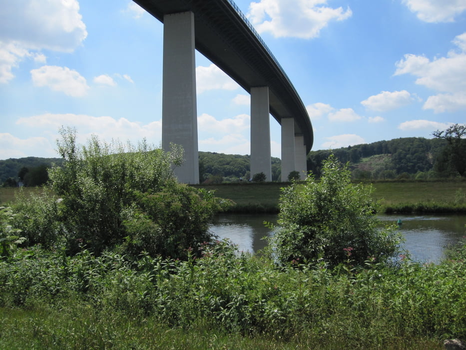
Hier die Strecke zum  Event von gestern. Leider hat das GPS bereits während der Anfahrt getrackt, so dass die Darstellung etwas merkwürdig erscheint. Die Fahrradstrecke betrug 52KM , Abfahrt in Mühlheim Saarn am Sportplatz. Nachdem es mit den Rädern kein Durchkommen mehr auf der A40 gab, sind wir über die A52 auf die Ruhrallee geflüchtet und dann direkt zur Ruhr. Danach wunderbar entspanntes Radeln :-).

Tour gallery

Tour map and elevation profile

  • Open Street Map
  • Google
Minimum height -69 m Maximum height 104 m Detailed view

More about the tour author

Ulli1962
Member since 2009

Send private message

Comments

GPS tracks

Trackpoints
  • GPX / Garmin Map Source (gpx) download
  • TCX / Garmin Training Center® (tcx) download
  • CRS / Garmin Training Center® (crs) download
  • Google Earth (kml) download
  • G7ToWin (g7t) download
  • TTQV (trk) download
  • Overlay (ovl) download
  • Fugawi (txt) download
  • Kompass (DAV) Track (tk) download
  • Track data sheet (pdf) download
  • Original file of the author (gpx) download

More about the tour author

Ulli1962
Member since 2009

Send private message
Share track
Add to my favorites
Remove from my favorites
Edit tags
My score
Rate
Track: Sti(l)lleben auf der A40 / Ruhrradweg
Type: Trekkingbike
Distance: 110,7 km
Evaluated on:
Duration:
Day(s)
Hour(s)
Minute(s)
Score: Landscape Fun factor Fitness Technique