
/Liebenstein (Eichelberg)")

Heute fehlt einem die Hitze der vergangenen Tage, es ist merklich kühler, so um die 20 Grad und die Waldwege sind nass und schwer zu fahren. Es machte aber trotzdem Spaß das Rad zu bewegen.
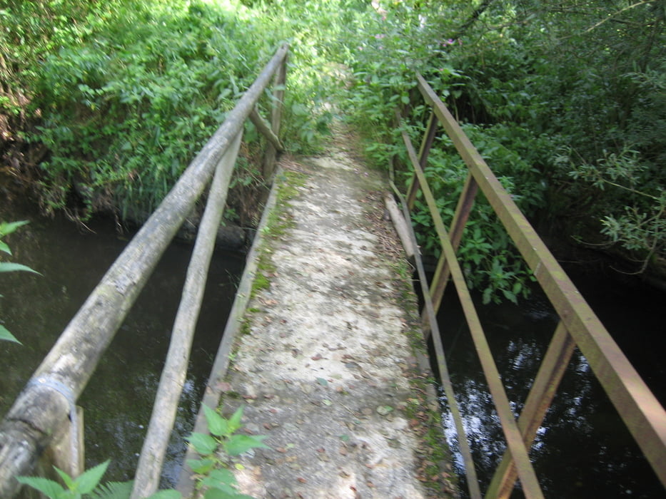
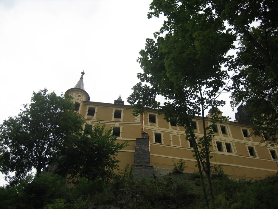
Es ging von Thiersheim nach Haingrün - Höflas - Kappel - Neualbenreuth - Doubrava - Hroznatow / Altkinsberg - Hohenberg wieder zurück nach Thiersheim. Wobei der Anstieg von der Hammermühle, rauf über den Sandweg zur Burg und dann weiter rauf zum Steinberg, nach all den Km nochmal eine kleine Herausforderung ist.
viel Spaß !
zur Info:
In Tschechien besteht seit dem 1. Juli 2005 eine Helmpflicht für Radfahrer unter 18 Jahre.
Tour gallery
Tour map and elevation profile
Minimum height 434 m
Maximum height 651 m
More about the tour author
|
|
Bernd-Ghostbiker |
Comments

Startpunkt ist Thiersheim. Anreise per PKW: aus Richtung Regensburg - Weiden A 93 in Richtung Berlin Ausfahrt Thiersheim aus Richtung Nürnberg - Bayreuth A 9 in Richtung Berlin Ausfahrt Bad Berneck und dann durch das Fichtelgebirge über Tröstau, Wunsiedel, Marktredwitz nach Thiersheim oder Ausfahrt Gefrees über Weißenstadt, Röslau, Bernstein nach Thiersheim
GPS tracks
Trackpoints-
GPX / Garmin Map Source (gpx) download
-
TCX / Garmin Training Center® (tcx) download
-
CRS / Garmin Training Center® (crs) download
-
Google Earth (kml) download
-
G7ToWin (g7t) download
-
TTQV (trk) download
-
Overlay (ovl) download
-
Fugawi (txt) download
-
Kompass (DAV) Track (tk) download
-
Track data sheet (pdf) download
-
Original file of the author (gpx) download
More about the tour author
|
|
Bernd-Ghostbiker |
Add to my favorites
Remove from my favorites
Edit tags
Open track
My score
Rate