


Start Ziel ist in Budenheim bei Mainz am Rheinufer. Hier ist auch genügend Parkplatz. Zunächst geht es über die Schiersteiner Brücke auf die ebsch Seit. Am Schiersteiner Hafen vorbei, Walluf und hoch gehts. An der Rausch - ein himmlisch-bayrisches Fleckchen in Hessen - ein Stop bei trockner Kette, und weiter gehts. We will kann noch bis Kloster Eberbach dranhängen, über Kiedrich gehths zurück zum Rhein. In walluf mit der Radfähre kommt man ans Ziel.
Wg Drei Zinnen - schaut mal ins Höhenprofil.
Tour gallery
Tour map and elevation profile
Minimum height 81 m
Maximum height 270 m
More about the tour author

|
Comments

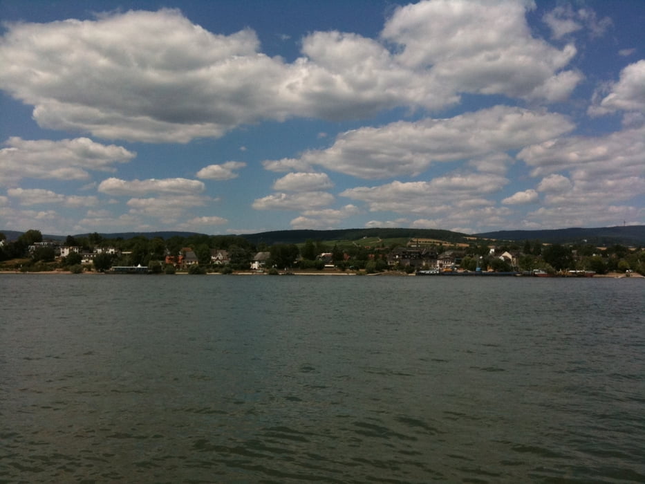
Rheinufer in Budenhem bei Mainz
GPS tracks
Trackpoints-
GPX / Garmin Map Source (gpx) download
-
TCX / Garmin Training Center® (tcx) download
-
CRS / Garmin Training Center® (crs) download
-
Google Earth (kml) download
-
G7ToWin (g7t) download
-
TTQV (trk) download
-
Overlay (ovl) download
-
Fugawi (txt) download
-
Kompass (DAV) Track (tk) download
-
Track data sheet (pdf) download
-
Original file of the author (gpx) download
More about the tour author
|
|
Add to my favorites
Remove from my favorites
Edit tags
Open track
My score
Rate