


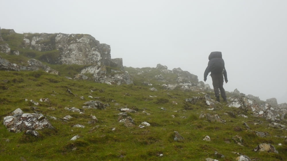
Die Tor war als Wanderung mit Zelt und Verpflegung vom Norden der Ilse of Skye (Uig) über das Trotternish Ridge nach Portree und dann weiter durch die Black Cuillins nach Ergol geplant.
Nach extrem starken Wind und viel Regen haben wir die überquerung des Trotternish Ridg am 3. Tag abgebrochen und sind zurück nach Uig gelaufen.
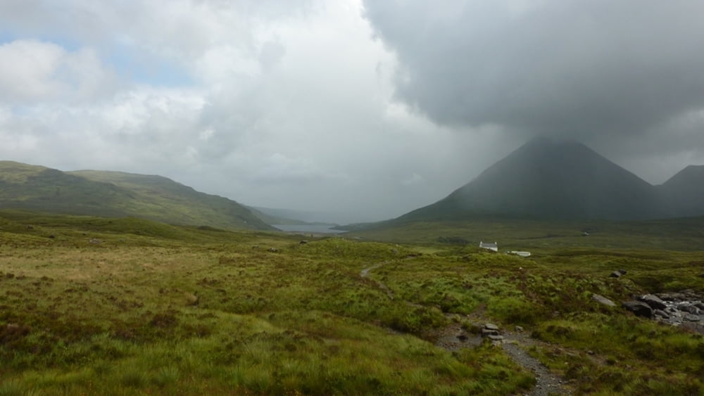
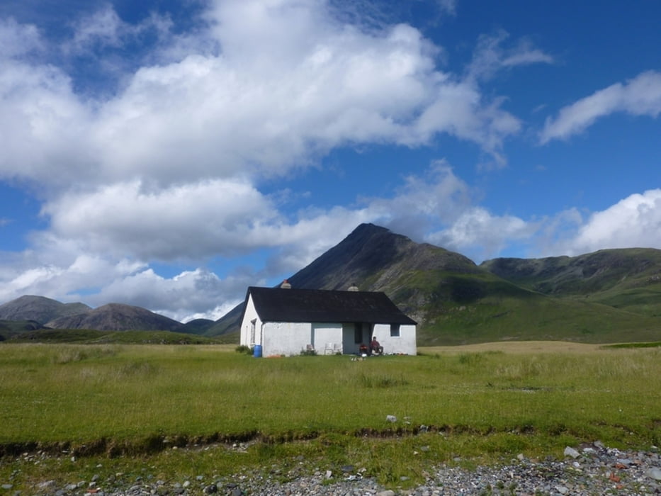
Danach sind wir mit dem Bus zum Parkplatz am Oldman of Storr gefahren und haben die Tour dort fortgesetzt.
Tour gallery
Tour map and elevation profile
Minimum height -307 m
Maximum height 664 m
More about the tour author
|
|
AtzeGross |
Comments

Flug Berlin ---> Glasgow
Busfahrt nach Uig. (ist kein Problem vor Ort in der Busstation zu kaufen)
GPS tracks
Trackpoints-
GPX / Garmin Map Source (gpx) download
-
TCX / Garmin Training Center® (tcx) download
-
CRS / Garmin Training Center® (crs) download
-
Google Earth (kml) download
-
G7ToWin (g7t) download
-
TTQV (trk) download
-
Overlay (ovl) download
-
Fugawi (txt) download
-
Kompass (DAV) Track (tk) download
-
Track data sheet (pdf) download
-
Original file of the author (gpx) download
More about the tour author
|
|
AtzeGross |
Add to my favorites
Remove from my favorites
Edit tags
Open track
My score
Rate