


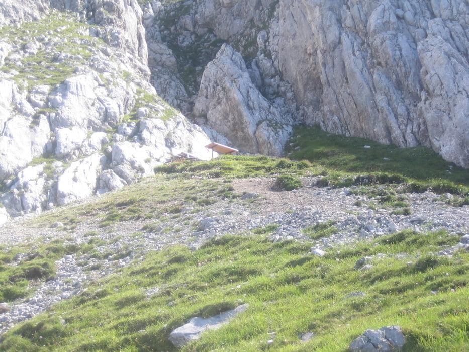
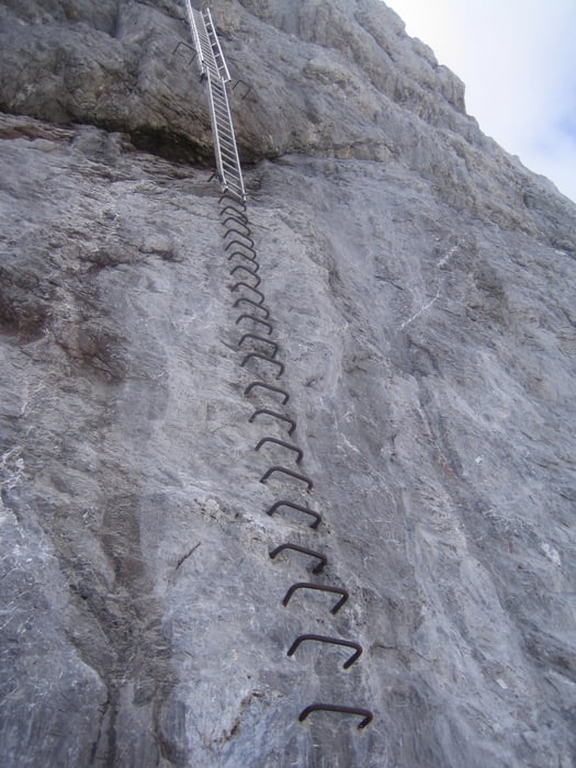
Ausgangspunkt: Hotel Annelies Ramsau/Kulm. Über den schönen Philosophenweg bis zur Ski Sprungschanze in Ramsau Ort. Dann weiter bis zum Gasthaus Edelbrunn (Alternativ Startpunkt). Ab dort beginnt ein sehr steiler, aber lohnender Anstieg bis zu den "Steinerenen Jungfrauen" weiter bis zu den Felswänden unterhalb des Gamsfeldes. Dort führt der Steig weiter durch das Edelgrieß zum Edelgrieß Gletscher. Über den Gletscher bis zum Rosemarie Stollen und über einen ca. 20 m höhe Leiter zum Schladminger Gletscher und weiter zum Hunenkogel. (Bergstation) Trittsicherheit und Schwindelfreiheit sind Voraussetzung.
Mautstraße und Dachsteinbahn sind mit Sommercard gratis.
Sommercard ist bei Übernachtung im Hotel Annelies inkludiert.
Further information at
http://hotel-annelies.atTour gallery


Tour map and elevation profile
Minimum height 1075 m
Maximum height 2680 m
More about the tour author
|
|
Hotel_Annelies |
Comments

Parkmöglichkeit: Vor Sportmoden Schrempf Ramsau/Kulm oder Gasthaus Edelbrunn
GPS tracks
Trackpoints-
GPX / Garmin Map Source (gpx) download
-
TCX / Garmin Training Center® (tcx) download
-
CRS / Garmin Training Center® (crs) download
-
Google Earth (kml) download
-
G7ToWin (g7t) download
-
TTQV (trk) download
-
Overlay (ovl) download
-
Fugawi (txt) download
-
Kompass (DAV) Track (tk) download
-
Track data sheet (pdf) download
-
Original file of the author (gpx) download
More about the tour author
|
|
Hotel_Annelies |
Add to my favorites
Remove from my favorites
Edit tags
Open track
My score
Rate