


Fernpass – Marienbergjoch
Start ist in Ehrwald, am Ortsausgang links auf den Panoramaweg nach Biberwier. Links vorbei am CUBE – Hotel zum Weißensee, über den Römerweg zur Fernpassstraße, diese nach rechts hin überqueren. Über einen Trail zum Schloß Fernstein und weiter nach Nassereith. Hier beginnt der harte Anstieg zum Marienbergjoch (11 km, 1000 Hm). Für die Abfahrt nach Biberwier sind dann gute Bremsen gefragt (30%), wer dann noch nicht genug von Schotterpisten hat und noch Kraft in den Beinen, kann den Panoramaweg zurück nach Ehrwald nehmen. Mir hat es gereicht und ich habe Asphalt bevorzugt. Die Route kann in beide Richtungen gefahren werden. Ich finde die Anstiege sind gegen den Uhrzeigersinn besser zu fahren.
Tour gallery
Tour map and elevation profile
Minimum height 853 m
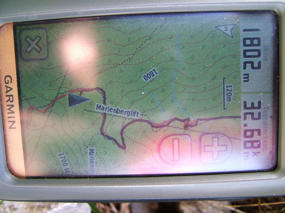
Maximum height 1804 m
More about the tour author

|
Methoni |
Comments

GPS tracks
Trackpoints-
GPX / Garmin Map Source (gpx) download
-
TCX / Garmin Training Center® (tcx) download
-
CRS / Garmin Training Center® (crs) download
-
Google Earth (kml) download
-
G7ToWin (g7t) download
-
TTQV (trk) download
-
Overlay (ovl) download
-
Fugawi (txt) download
-
Kompass (DAV) Track (tk) download
-
Track data sheet (pdf) download
-
Original file of the author (gpx) download
More about the tour author
|
|
Methoni |
Add to my favorites
Remove from my favorites
Edit tags
Open track
My score
Rate