Login

Forgot your login?

Cookies have to be accepted!
Your browser's cookie functionality is disabled. Please enable this functionality.

Not a member yet?

Register now
Login

Available for registred users only

Log in to use this feature.

Forgot your login?

Cookies have to be accepted!
Your browser's cookie functionality is disabled. Please enable this functionality.

Not a member yet?

Register now
Filter
Categories
Advanced filters
  • Distance (km)
  • Height
Save filters Reset filter

TrackRank

QRCode

Technical data

Distance44,1 km Height709 m Way down712 m Duration02:45 h:m Date24.07.2010
Scores Author User Landscape Fun factor Fitness Technique

Statistics

1339 Views 1 Score 182 Downloads 4.00 Average
Rate
  • Track data sheet
  • Directions
  • Downloads

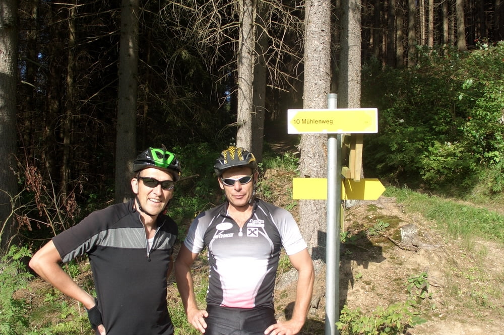
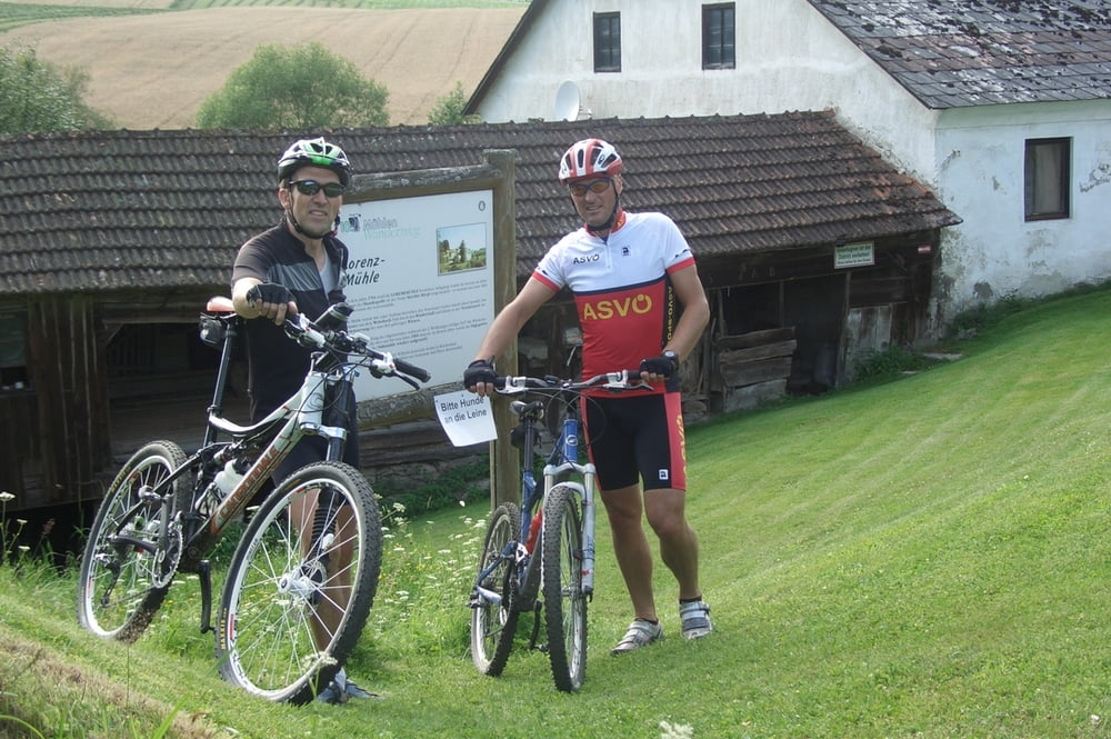
Eine leichte Moutainbike-Tour mit einer super Landschaft. Man sieht,  wie die Müllner früher den Weizen zu Mehl verarbeitet haben.

Tour gallery

Tour map and elevation profile

  • Open Street Map
  • Google
Minimum height 604 m Maximum height 833 m Detailed view

More about the tour author

LettnerChris
Member since 2008

Send private message

Comments

Ausgangspunkt: Reichenau im Mühlkreis; bei der Volksschule kann mam mit dem Auto auch parken.

GPS tracks

Trackpoints
  • GPX / Garmin Map Source (gpx) download
  • TCX / Garmin Training Center® (tcx) download
  • CRS / Garmin Training Center® (crs) download
  • Google Earth (kml) download
  • G7ToWin (g7t) download
  • TTQV (trk) download
  • Overlay (ovl) download
  • Fugawi (txt) download
  • Kompass (DAV) Track (tk) download
  • Track data sheet (pdf) download
  • Original file of the author (gpx) download

More about the tour author

LettnerChris
Member since 2008

Send private message
Share track
Add to my favorites
Remove from my favorites
Edit tags
My score
Rate
Track: 10 Mühlenweg in Reichenthal
Type: Mountain bike
Distance: 44,1 km
Evaluated on:
Duration:
Day(s)
Hour(s)
Minute(s)
Score: Landscape Fun factor Fitness Technique