


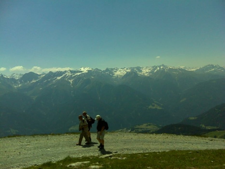
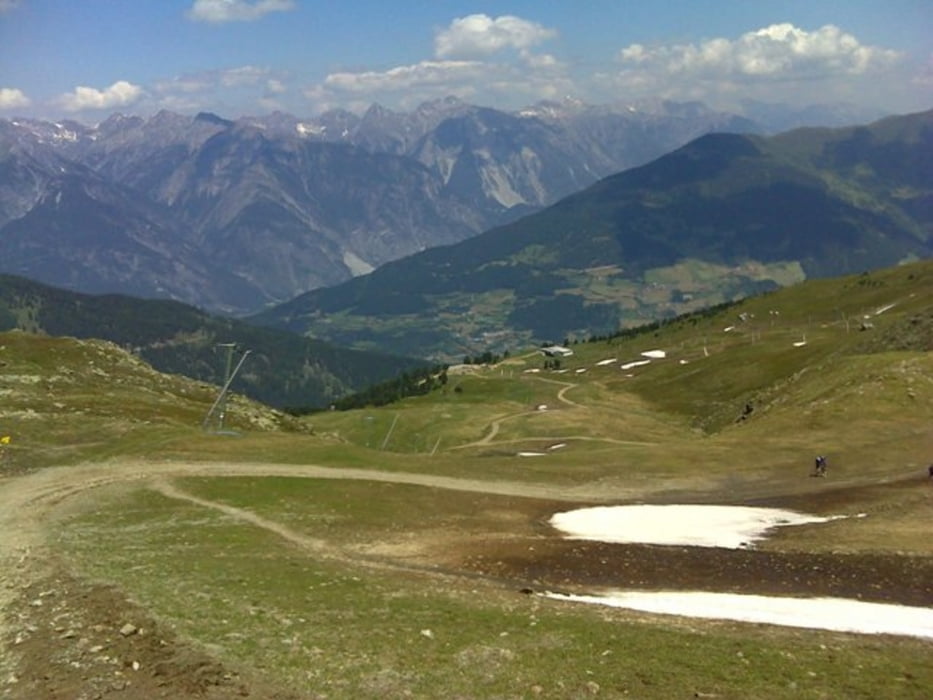
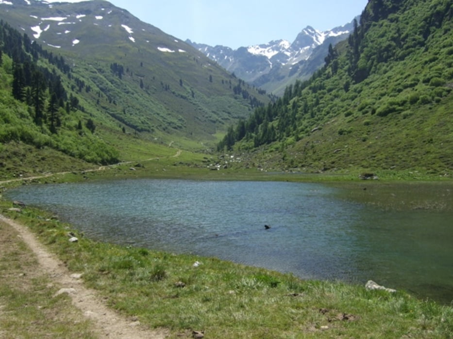
Start am Parkplatz der Bergbahnen Fiss, von hier geht`s sofort steil bergauf Richtung Möseralm. Über die Kuhalpe Fiss und die Mittelstation geht es dann in einigen Serpentinen hinauf zum Fisser Jöchl. Dort oben hat man einen wunderschönen Panoramablick über die Ötztaler und Lechtaler Alpen. Nun gehts auf der Nordseite wieder steil bergab zur Schöngamp Alpe. Ein kurzer Abstecher zum Urgsee lädt zum Erholen ein. Nun über eine schöne, gemütliche Forststrasse gehts wieder zurück zum Startpunkt.
Tour gallery
Tour map and elevation profile
Minimum height 1461 m
Maximum height 2493 m
More about the tour author

|
Maexchen144 |
Comments

Von Landeck kommend Richtung Nauders-Reschenpass, bei Ried nun Richtung Ladis-Fiss-Serfaus rechts abbiegen, in Fiss Richtung Bergbahnen. Ausreichend beschildert!
GPS tracks
Trackpoints-
GPX / Garmin Map Source (gpx) download
-
TCX / Garmin Training Center® (tcx) download
-
CRS / Garmin Training Center® (crs) download
-
Google Earth (kml) download
-
G7ToWin (g7t) download
-
TTQV (trk) download
-
Overlay (ovl) download
-
Fugawi (txt) download
-
Kompass (DAV) Track (tk) download
-
Track data sheet (pdf) download
-
Original file of the author (gpx) download
More about the tour author
|
|
Maexchen144 |
Add to my favorites
Remove from my favorites
Edit tags
Open track
My score
Rate