


Eigentlich eine sehr einfache Umrundung des Monte Cornette, wenn da nicht ca 100-150m der Strasse fehlen würden!! (Deshalb auch ein allgemeines Fahrverbotsschild!!!)
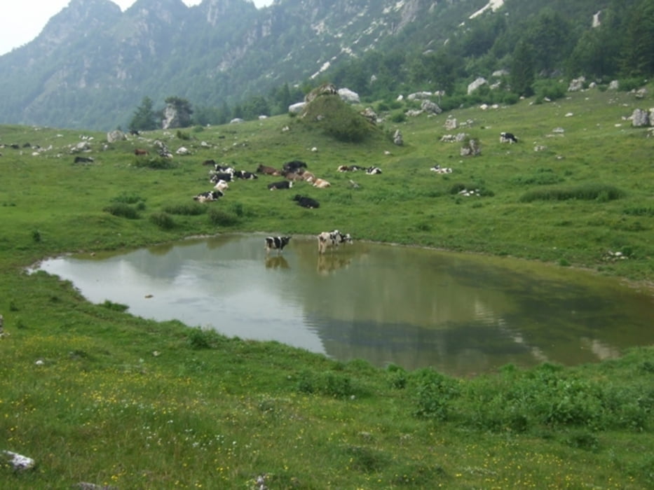
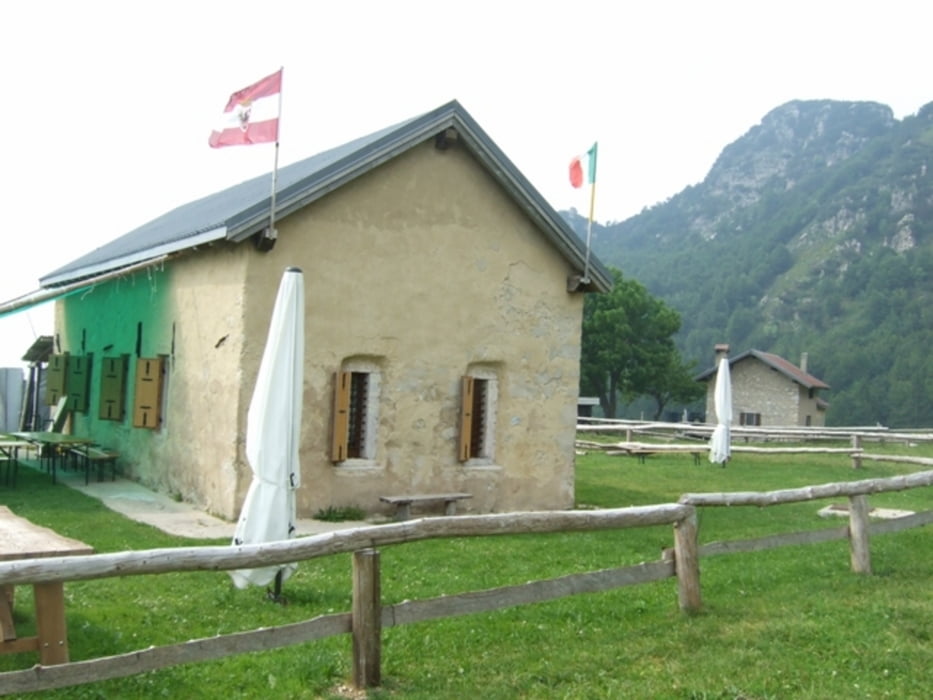
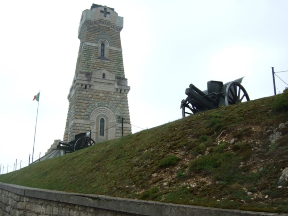
Start am Pso. Pian delle Fugazze Richtung Malga Cornetto. Nach ca 800m rechts Richtung Malga Baffelan, links führt der Weg zum Sacrario Militare del Pasubio (Gedenkstätte); nach wiederum 1000m endet die Strasse, die von Muren abgerissen worden ist; hier heisst es, Rad tragen!! (CAVE: Trittsicherheit sehr erforderlich!) Hernach gehts einfach weiter; am Forstweg kurz vor P. di Campogrosso rechts auf einem Karrenweg abzweigen in Richtung Malga Boffetal. ab hier gehts nochmals bergauf. Von hieraus hat man einen schönen Ausblick auf den Monte Cornetto; nun gehts nurnoch bergab, bis daß man auf der Sent. della pace wieder den Pso. Pian delle Fugazze erreicht;
Tour gallery
Tour map and elevation profile
Minimum height 1164 m
Maximum height 1539 m
More about the tour author

|
Maexchen144 |
Comments

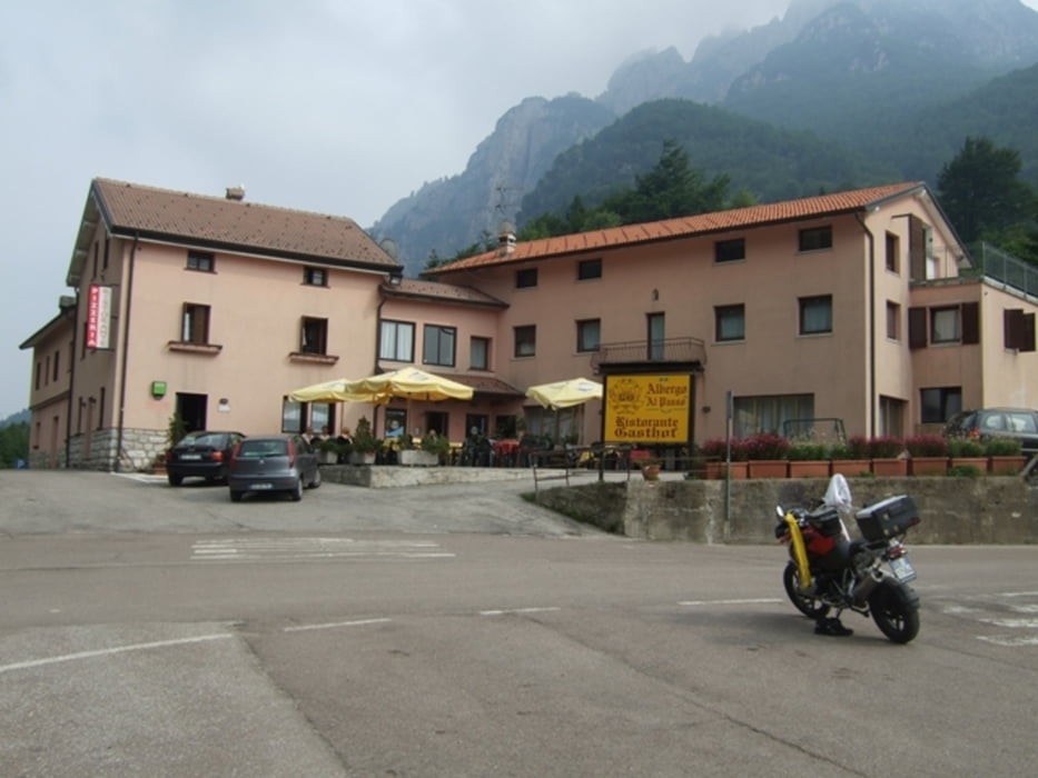
Von Rovereto auf der 46 in Richtung Valbmorbia, Anghèbeni, Pso. Pian delle Fugazze!
GPS tracks
Trackpoints-
GPX / Garmin Map Source (gpx) download
-
TCX / Garmin Training Center® (tcx) download
-
CRS / Garmin Training Center® (crs) download
-
Google Earth (kml) download
-
G7ToWin (g7t) download
-
TTQV (trk) download
-
Overlay (ovl) download
-
Fugawi (txt) download
-
Kompass (DAV) Track (tk) download
-
Track data sheet (pdf) download
-
Original file of the author (gpx) download
More about the tour author
|
|
Maexchen144 |
Add to my favorites
Remove from my favorites
Edit tags
Open track
My score
Rate