


Historische Strassen an der Ahr - der Eisenweg
Die Tour beginnt in Ahweiler/Bachem an der Lourdeskapelle.
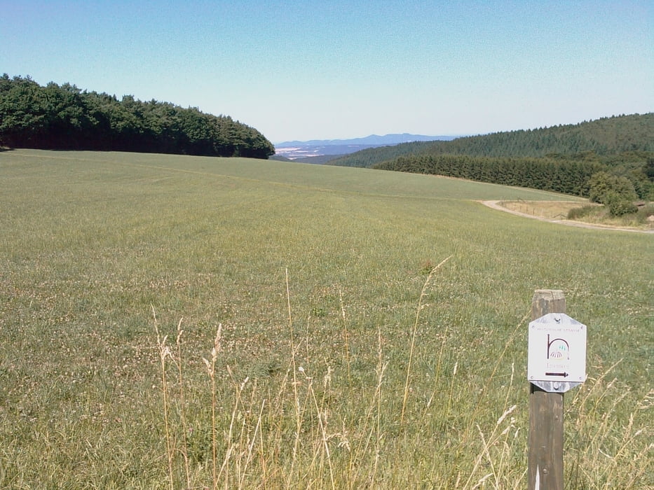
Das Bachemer-Tal hinauf bis zum Aufstieg (hier heften wir uns an den Eisenweg) zum Buchenrondell. D.h die Tour über den Eisenweg wird fast am Ende der ausgeschilderten historischen Strasse in umgekehrter Richtung durchfahren.
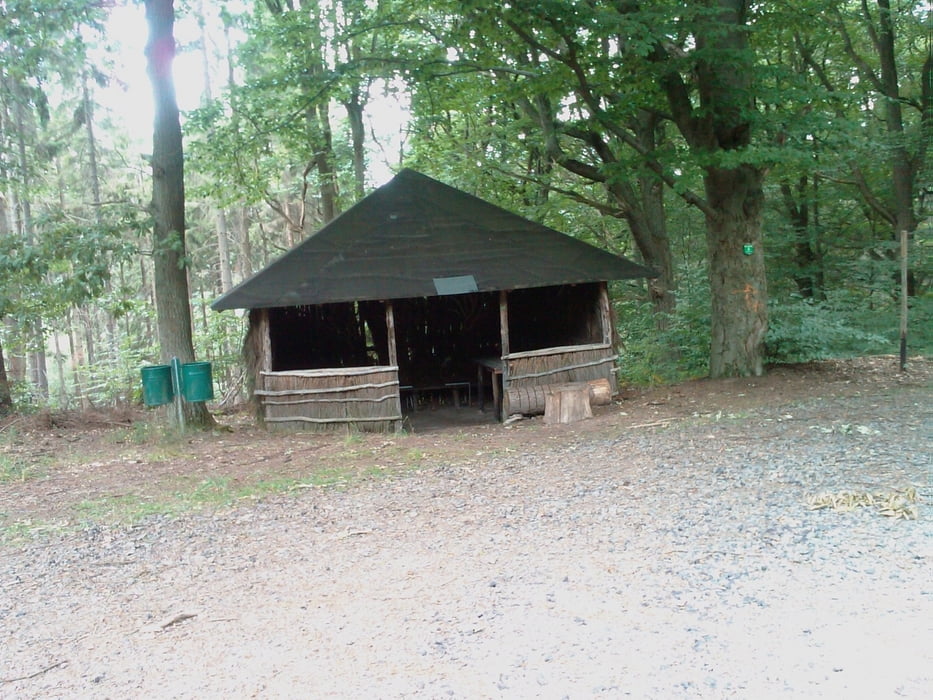
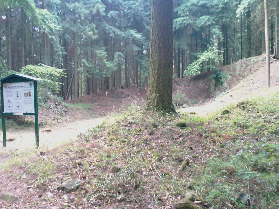
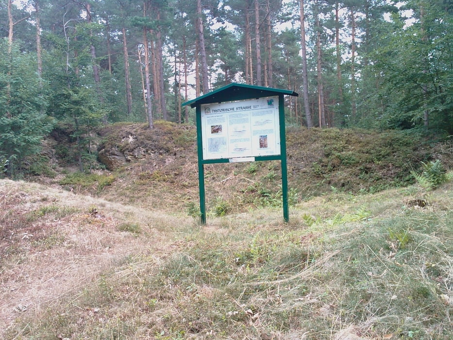
Die Zeit von ca 4 Stunden ergab sich durch das Anschauen/Lesen der 8 am Wegesrand aufgestellten Info-Tafeln und Inspizieren des Geländes drumherum. Die reine Fahrzeit ist erheblich kürzer.
Weitere Infos: www.gps-tour.info/de/touren/detail.22866.html
Further information at
/en/tracks/detail.22866.htmlTour gallery
Tour map and elevation profile
Minimum height 117 m
Maximum height 413 m
More about the tour author

|
Alfg |
Comments

Die Tour beginnt an der Lourdeskapelle in Bad Neuenahr-Ahrweiler, Stadtteil Bachem
GPS tracks
Trackpoints-
GPX / Garmin Map Source (gpx) download
-
TCX / Garmin Training Center® (tcx) download
-
CRS / Garmin Training Center® (crs) download
-
Google Earth (kml) download
-
G7ToWin (g7t) download
-
TTQV (trk) download
-
Overlay (ovl) download
-
Fugawi (txt) download
-
Kompass (DAV) Track (tk) download
-
Track data sheet (pdf) download
-
Original file of the author (gpx) download
More about the tour author
|
|
Alfg |
Add to my favorites
Remove from my favorites
Edit tags
Open track
My score
Rate