Login

Forgot your login?

Cookies have to be accepted!
Your browser's cookie functionality is disabled. Please enable this functionality.

Not a member yet?

Register now
Login

Available for registred users only

Log in to use this feature.

Forgot your login?

Cookies have to be accepted!
Your browser's cookie functionality is disabled. Please enable this functionality.

Not a member yet?

Register now
Filter
Categories
Advanced filters
  • Distance (km)
  • Height
Save filters Reset filter

TrackRank

QRCode

Technical data

Distance39,3 km Height289 m Way down270 m Duration01:52 h:m Date26.07.2010
Scores Author Landscape Fun factor Fitness Technique

Statistics

260 Views Scores 27 Downloads Average
Rate
  • Track data sheet
  • Directions
  • Downloads

Auf dem kürzesten Weg von Steinberg zur Iller. Weiter zur Donau bis zur Adenauerbrücke. Zum Kuhberg am Kriegerdenkmal und KZ Gedenkstätte vorbei. Oberhalb von Grimmelfingen netter Trial im Wald bis Ermingen.

Zurück über Einsingen, Gögglingen, Unterweiler und Essendorf.
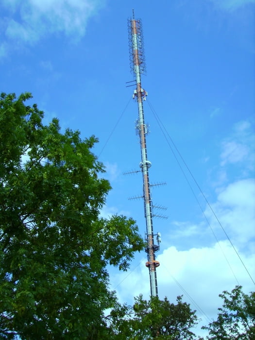
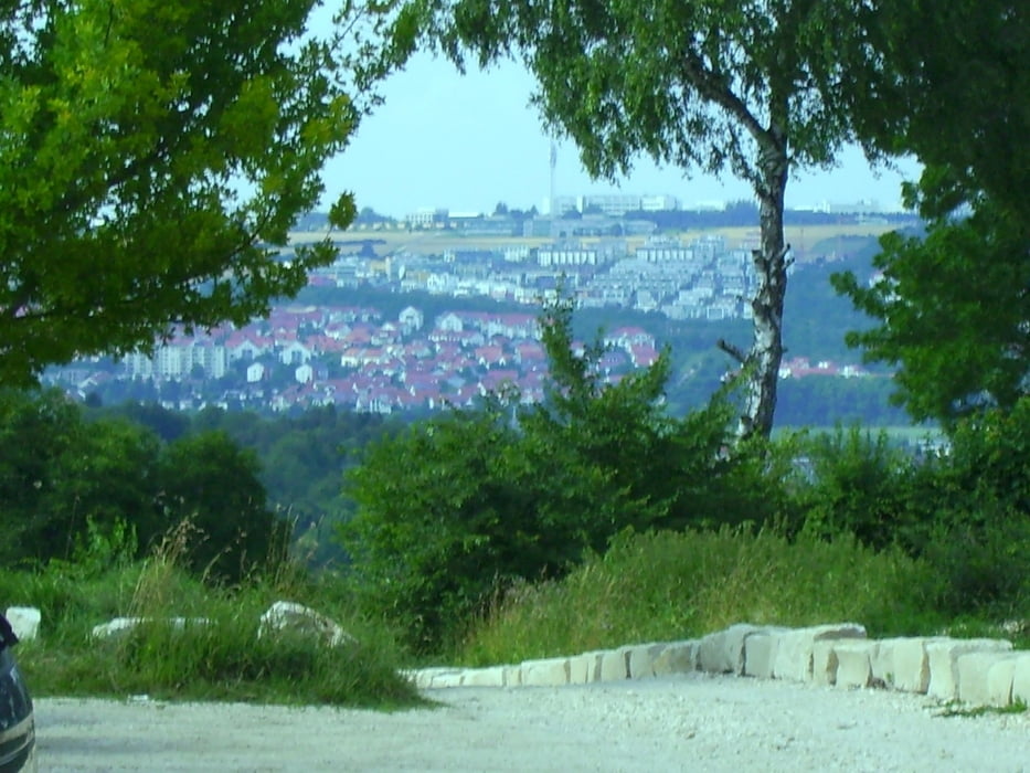
Tour gallery

Tour map and elevation profile

  • Open Street Map
  • Google
Minimum height 459 m Maximum height 606 m Detailed view

More about the tour author

painfully58
Member since 2008

Send private message

Comments

GPS tracks

Trackpoints
  • GPX / Garmin Map Source (gpx) download
  • TCX / Garmin Training Center® (tcx) download
  • CRS / Garmin Training Center® (crs) download
  • Google Earth (kml) download
  • G7ToWin (g7t) download
  • TTQV (trk) download
  • Overlay (ovl) download
  • Fugawi (txt) download
  • Kompass (DAV) Track (tk) download
  • Track data sheet (pdf) download
  • Original file of the author (gpx) download

More about the tour author

painfully58
Member since 2008

Send private message
Share track
Add to my favorites
Remove from my favorites
Edit tags
My score
Rate
Track: Steinberg Kuhberg Ermingen
Type: Mountain bike
Distance: 39,3 km
Evaluated on:
Duration:
Day(s)
Hour(s)
Minute(s)
Score: Landscape Fun factor Fitness Technique