


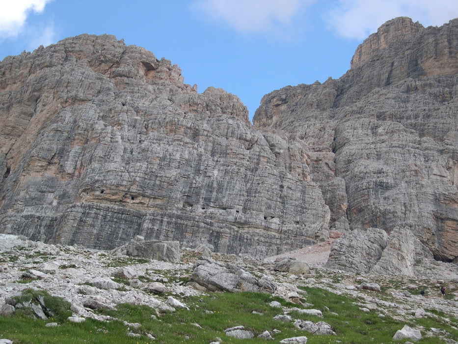
Dibona Hütte, Forcella Col de Bos, Travenanzes Tal, Umgehung des luftigen Klettersteigs Scala del Menighel, El Majarie, Forcella Fontananegra mit Giussani Hütte, Dibona Hütte.
Bemerkung:
Wer schwindelfrei ist und die nötige Ausrüstung hat, kann die Tour über den Klettersteig Scala del Menighel abkürzen.
Tour gallery
Tour map and elevation profile
Minimum height 2010 m
Maximum height 2587 m
More about the tour author

|
ruf_markus |
Comments

Strasse S 48 von Cortina zum Falzaregopass.
Ca. 7 km von Cortina zweigt rechts eine schmale Straße zur Dibona Hütte ab. Das letzte Stück ist nicht mehr geteert!
GPS tracks
Trackpoints-
GPX / Garmin Map Source (gpx) download
-
TCX / Garmin Training Center® (tcx) download
-
CRS / Garmin Training Center® (crs) download
-
Google Earth (kml) download
-
G7ToWin (g7t) download
-
TTQV (trk) download
-
Overlay (ovl) download
-
Fugawi (txt) download
-
Kompass (DAV) Track (tk) download
-
Track data sheet (pdf) download
-
Original file of the author (gpx) download
More about the tour author
|
|
ruf_markus |
Add to my favorites
Remove from my favorites
Edit tags
Open track
My score
Rate