


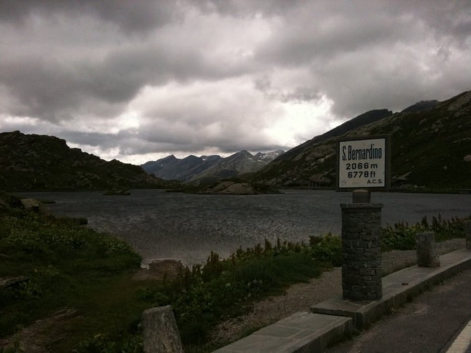
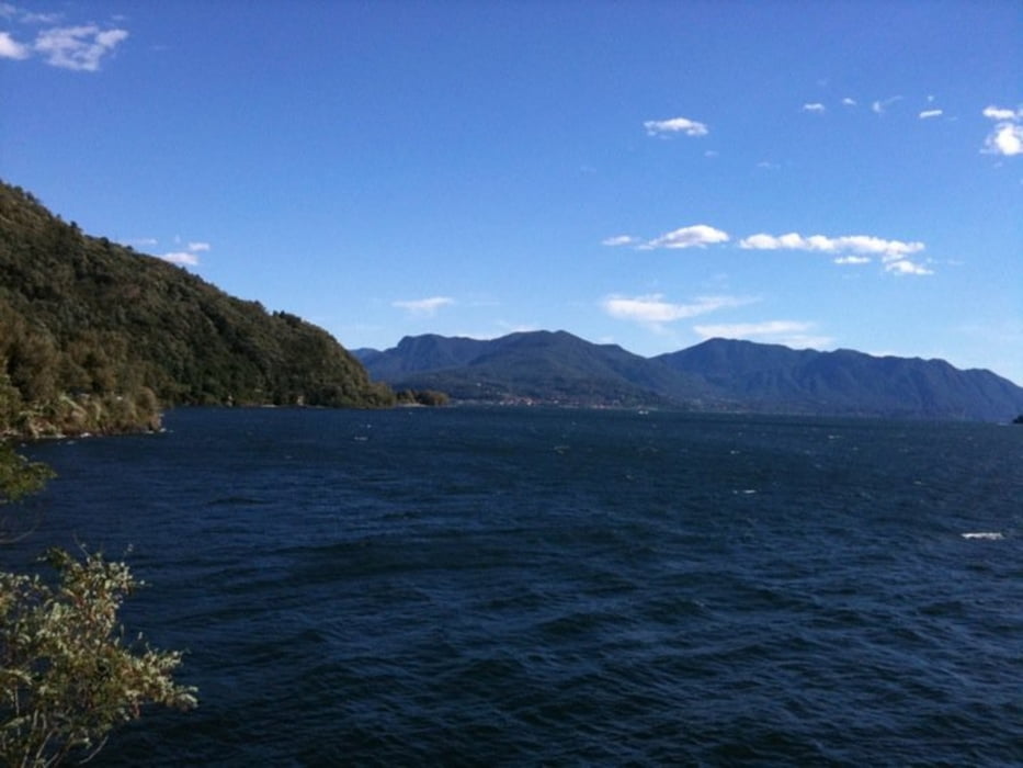
Wunderbare Tour von Chur durch die Via Mala, Rofla auf den San Bernardino. Auf dem Pass kann mann sich die wohlverdiente Zwischenverpfelgung genehmigen und danach ins wunderbar warme Tessin hinunterdüsen. Bis nach Bellinzona geht es praktisch nur hinunter. Danach durch die Magadino-Ebene und dem Lago Maggiore entlang bis nach Luino. Meine Route endete schlussendlich im wunderbaren Bikerparadies Malcantone. Genauer im kleinen idylischen Dörfleich Sessa.
Tour gallery


Tour map and elevation profile
Minimum height 195 m
Maximum height 2111 m
More about the tour author

|
cybervir |
Comments

Ab besten mit dem Zug.
GPS tracks
Trackpoints-
GPX / Garmin Map Source (gpx) download
-
TCX / Garmin Training Center® (tcx) download
-
CRS / Garmin Training Center® (crs) download
-
Google Earth (kml) download
-
G7ToWin (g7t) download
-
TTQV (trk) download
-
Overlay (ovl) download
-
Fugawi (txt) download
-
Kompass (DAV) Track (tk) download
-
Track data sheet (pdf) download
-
Original file of the author (gpx) download
More about the tour author
|
|
cybervir |
Add to my favorites
Remove from my favorites
Edit tags
Open track
My score
Rate