Login

Forgot your login?

Cookies have to be accepted!
Your browser's cookie functionality is disabled. Please enable this functionality.

Not a member yet?

Register now
Login

Available for registred users only

Log in to use this feature.

Forgot your login?

Cookies have to be accepted!
Your browser's cookie functionality is disabled. Please enable this functionality.

Not a member yet?

Register now
Filter
Categories
Advanced filters
  • Distance (km)
  • Height
Save filters Reset filter

TrackRank

QRCode

Technical data

Distance12,2 km Height625 m Way down623 m Duration01:30 h:m Date29.07.2010
Scores Author Landscape Fun factor Fitness Technique

Statistics

934 Views Scores 110 Downloads Average
Rate
  • Track data sheet
  • Directions
  • Downloads

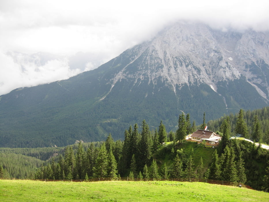
Die Tour eignet sich hervorragend als eine Zwischenlösung, beispielsweise während Regenpausen. Sie verläuft ausschließlich auf Forststraßen. Über wenige Kilometer kann man doch eine gute Zahl an Höhenmetern schaffen. Die letzten 500 Meter bis zur Wangalm sind mit Schiebepassagen gespickt.

Tour gallery

Tour map and elevation profile

  • Open Street Map
  • Google
Minimum height 1161 m Maximum height 1761 m Detailed view

More about the tour author

Christian78
Member since 2009

Send private message

Comments

Man kann gut vor der Kirche im Ortsteil Kirchplatzl parken. Hier steht ein geräumiger Parkplatz zur Verfügung.

GPS tracks

Trackpoints
  • GPX / Garmin Map Source (gpx) download
  • TCX / Garmin Training Center® (tcx) download
  • CRS / Garmin Training Center® (crs) download
  • Google Earth (kml) download
  • G7ToWin (g7t) download
  • TTQV (trk) download
  • Overlay (ovl) download
  • Fugawi (txt) download
  • Kompass (DAV) Track (tk) download
  • Track data sheet (pdf) download
  • Original file of the author (gpx) download

More about the tour author

Christian78
Member since 2009

Send private message
Share track
Add to my favorites
Remove from my favorites
Edit tags
My score
Rate
Track: Vom Kirchplatzl zur Wangalm
Type: Mountain bike
Distance: 12,2 km
Evaluated on:
Duration:
Day(s)
Hour(s)
Minute(s)
Score: Landscape Fun factor Fitness Technique