


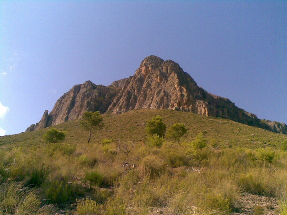
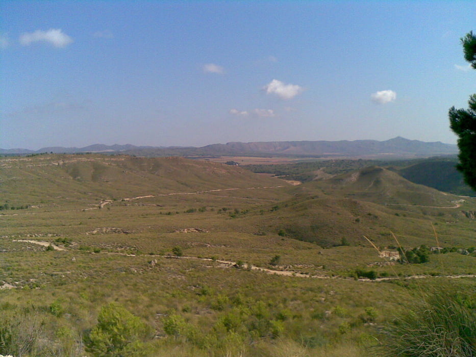
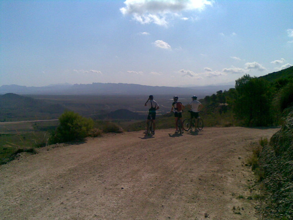
Ruta que rodea la Sierra del Puerto, a la ida por la cara norte y a la vuelta por la cara Sur. Si alguien quiere hacerla, le recomiendo que replantee la parte de la vuelta, ya que nosotros fuimos sin una ruta clara de antemano, y al final tuvimos que hacer unos 200 metros por la carretera general, lo cual es muy peligroso. Planteándolo bien, se puede hacer toda la vuelta por caminos, para acabar enlazando por la zona de la estación.
Tour gallery
Tour map and elevation profile
Minimum height 260 m
Maximum height 603 m
More about the tour author

|
agustincb |
Comments

GPS tracks
Trackpoints-
GPX / Garmin Map Source (gpx) download
-
TCX / Garmin Training Center® (tcx) download
-
CRS / Garmin Training Center® (crs) download
-
Google Earth (kml) download
-
G7ToWin (g7t) download
-
TTQV (trk) download
-
Overlay (ovl) download
-
Fugawi (txt) download
-
Kompass (DAV) Track (tk) download
-
Track data sheet (pdf) download
-
Original file of the author (gpx) download
More about the tour author
|
|
agustincb |
Add to my favorites
Remove from my favorites
Edit tags
Open track
My score
Rate