


Spitzen Trailrunde in Ischg!
mit einer kleinen Unterstützung des Sesselift in Alptrida
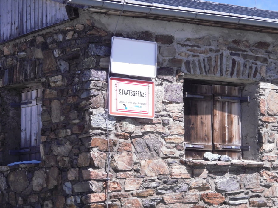
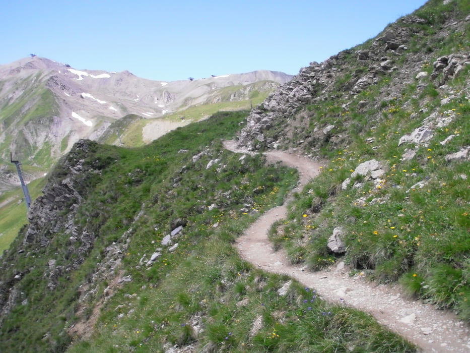
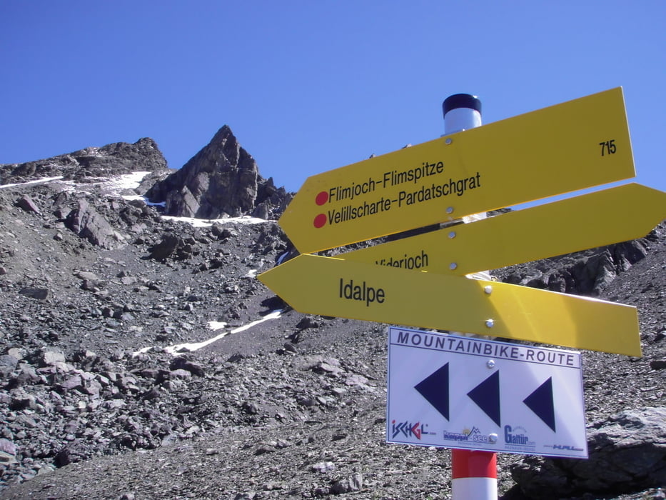
Los geht es gleich bei der Gondeltalstation Ischgl mit einer deftigen Steigung.Und das leider ohne Unterbrechung.Bis zur Idalpe alles auf der asphaltierten Bergstraße, ohne Verkehr dafür mit einer tollen Aussicht ! Stärkung auf der Idalpe denn dann kommt Schotter und heftige Steigung bis zum Idjoch.Ich schätze ca 15% von der Talstation bis zum Idjoch durchgängig. Am Idjoch ist dann Schluss und man ist mit einem Fuß auch schon in der Schweiz und genießt den grandiosen Rundblick. es geht zuerst steil. runter und danach einen Kamm entlang alles auf Trail(leicht) es folgt eine Schotterabfahrt nach Alp Trida. HIer geht es mit dem Sessellift rauf zum Filmjoch. Was dann folgt ist extra Klasse.Spitzentrails auf einer gekennzeichneten Mountainbikeroute mit einigen Anlegern ...usw.
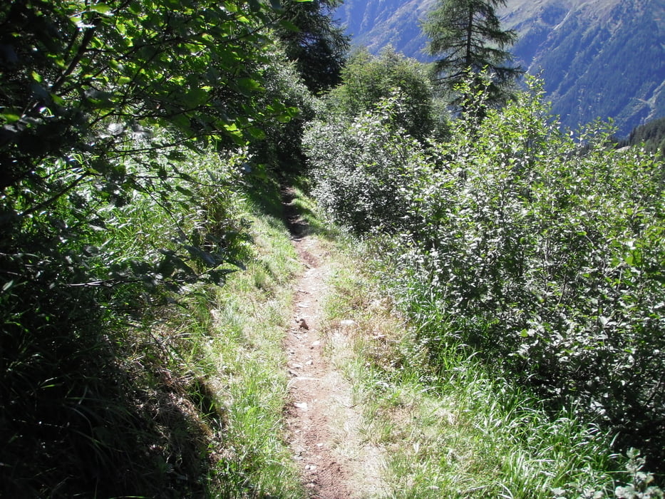
Ab der Oberen Velillalpe wird der Untergrund weicher aber trotzdem immer noch anspruchsvoll zum Fahren.Nach ca 1200hmt reinsten Trailgenuss kommt man beim Prennerhang auf einer Forstraße und fährt diese ab bis Ischgl.
hier gleich links in die Tunnelröhre und schon ist man wieder am Ausgangspunkt.Trailskala S1-S2
Tour gallery
Tour map and elevation profile
Minimum height 1348 m
Maximum height 2744 m
More about the tour author
|
|
josef_zinganel |
Comments

GPS tracks
Trackpoints-
GPX / Garmin Map Source (gpx) download
-
TCX / Garmin Training Center® (tcx) download
-
CRS / Garmin Training Center® (crs) download
-
Google Earth (kml) download
-
G7ToWin (g7t) download
-
TTQV (trk) download
-
Overlay (ovl) download
-
Fugawi (txt) download
-
Kompass (DAV) Track (tk) download
-
Track data sheet (pdf) download
-
Original file of the author (gpx) download
More about the tour author
|
|
josef_zinganel |
Add to my favorites
Remove from my favorites
Edit tags
Open track
My score
Rate