
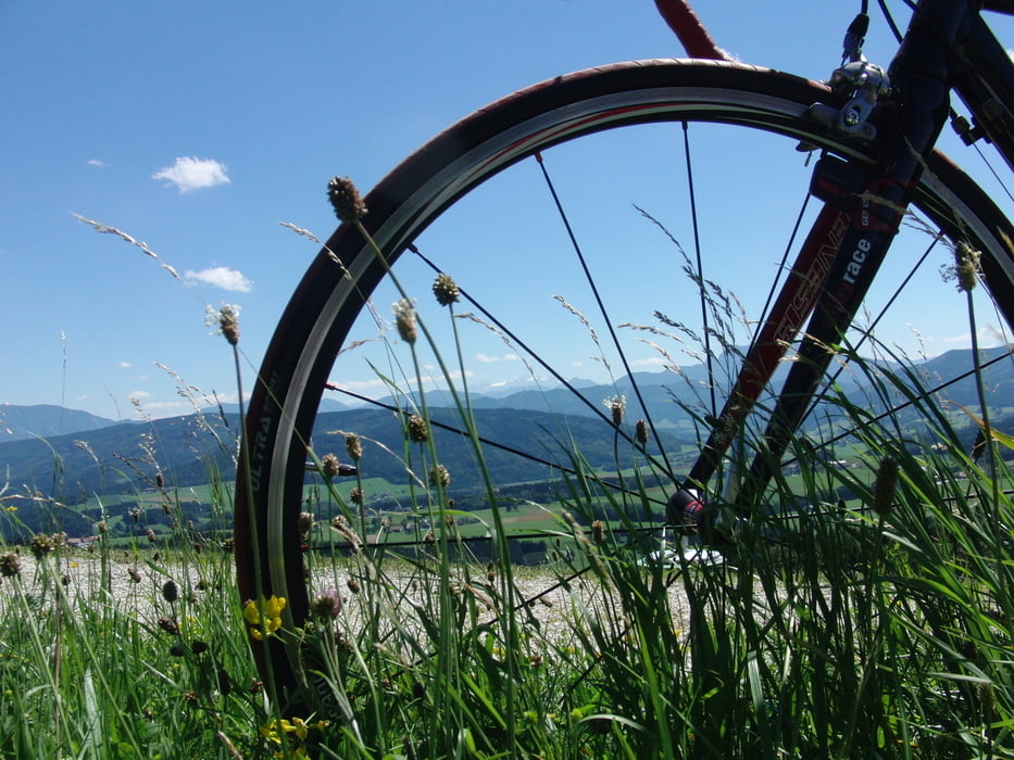

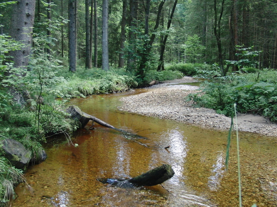
Start : Timelkam (Atsv Sportplatz,Hauptschule)-Zipf-Frankenburg-Richtung Ried nach Pramet -links nach Schildorn-Waldzell-links durchs Redltal-Frankenmarkt - Weißenkirchen im Attergau- hinauf auf den Lichtenberg (Einkehrmöglichkeit , Aussichtsturm)-hinunter nach Kogl-links nach St.Georgen-Über den Kreisverkehr richtung Seewalchen - Eisenpalmsdorf-Kemating-links über Steindorf nach Lenzing-links nach Timelkam zum Ausgangspunkt.
Tour gallery

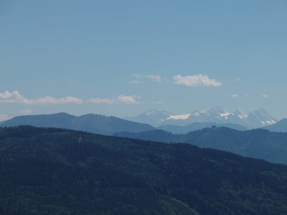

Tour map and elevation profile
Minimum height 455 m
Maximum height 860 m
More about the tour author
|
|
jopet |
Comments

GPS tracks
Trackpoints-
GPX / Garmin Map Source (gpx) download
-
TCX / Garmin Training Center® (tcx) download
-
CRS / Garmin Training Center® (crs) download
-
Google Earth (kml) download
-
G7ToWin (g7t) download
-
TTQV (trk) download
-
Overlay (ovl) download
-
Fugawi (txt) download
-
Kompass (DAV) Track (tk) download
-
Track data sheet (pdf) download
-
Original file of the author (gpx) download
More about the tour author
|
|
jopet |
Add to my favorites
Remove from my favorites
Edit tags
Open track
My score
Rate