


1. Etappe von Garmisch - Imst 60 Km und 1492 Hm
2. Etappe von Imst - Sölden 57,5 Km und 1215 Hm
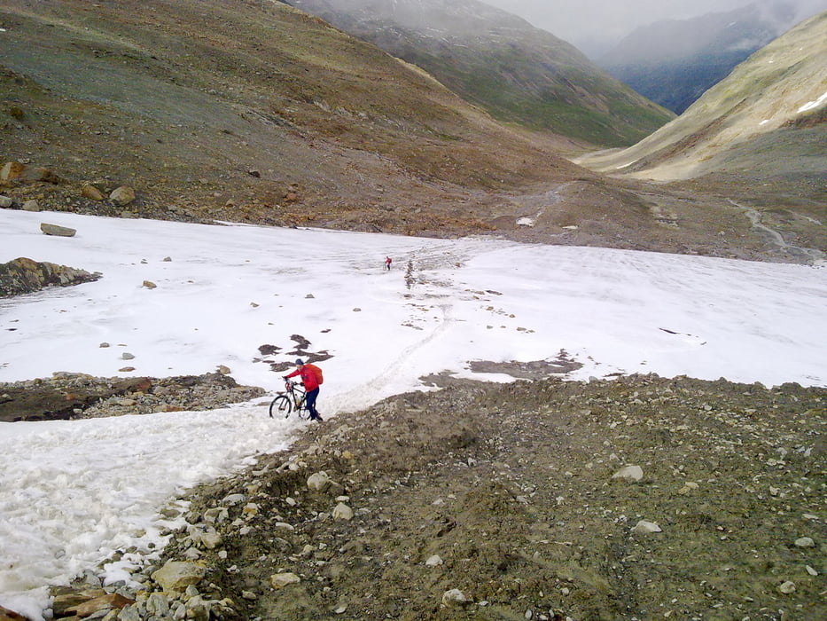
3. Etappe von Sölden nach Naturns 57,7 Km und 1650 Hm
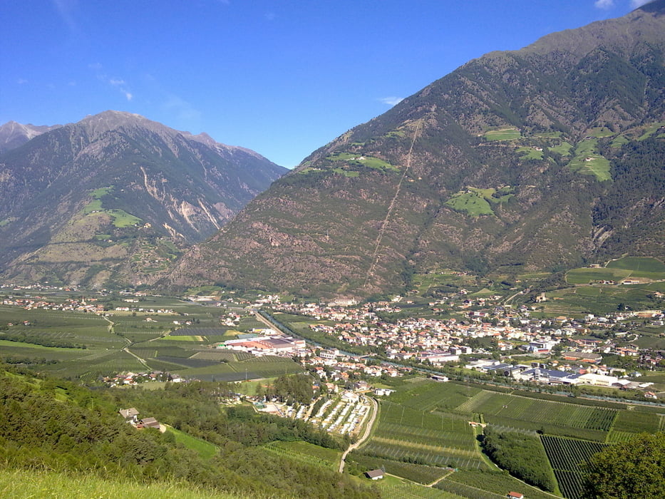
4. Etappe von Naturns nach St. Pankratz 34,2 Km und 1529 Hm
5. Etappe von St. Pankratz nach Livo 35,4 Km und 1063 Hm (Tour musste wegen Gewitter und Regen abgeändert werden und wurde in Livo abgebrochen - Tour wäre ursprünglich über die Spitzenalpe und Breznerjoch nach Campodenno gegangen)
6. Etappe von Livo nach Cles, dann mit Bahn/Bus nach Andalo von dort nach Torbole - 65,5 Km und 705 Hm
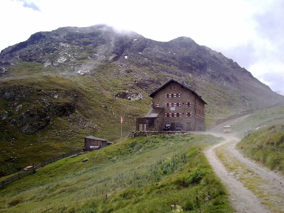
Tour gallery
Tour map and elevation profile
Minimum height 61 m
Maximum height 3036 m
More about the tour author
|
|
HANSALP |
Comments

mit dem Zug nach Garmisch
GPS tracks
Trackpoints-
GPX / Garmin Map Source (gpx) download
-
TCX / Garmin Training Center® (tcx) download
-
CRS / Garmin Training Center® (crs) download
-
Google Earth (kml) download
-
G7ToWin (g7t) download
-
TTQV (trk) download
-
Overlay (ovl) download
-
Fugawi (txt) download
-
Kompass (DAV) Track (tk) download
-
Track data sheet (pdf) download
-
Original file of the author (gpx) download
More about the tour author
|
|
HANSALP |
Add to my favorites
Remove from my favorites
Edit tags
Open track
My score
Rate