

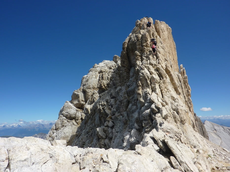
Aufstieg: zum Zehner 3 Stunden 11 Minuten
Abstieg bzw. Aufstieg zum Heiligkreuzkofel 53 Minuten
Abstieg vom Heiligkreuzkofel 1 Stunde 55 Minuten
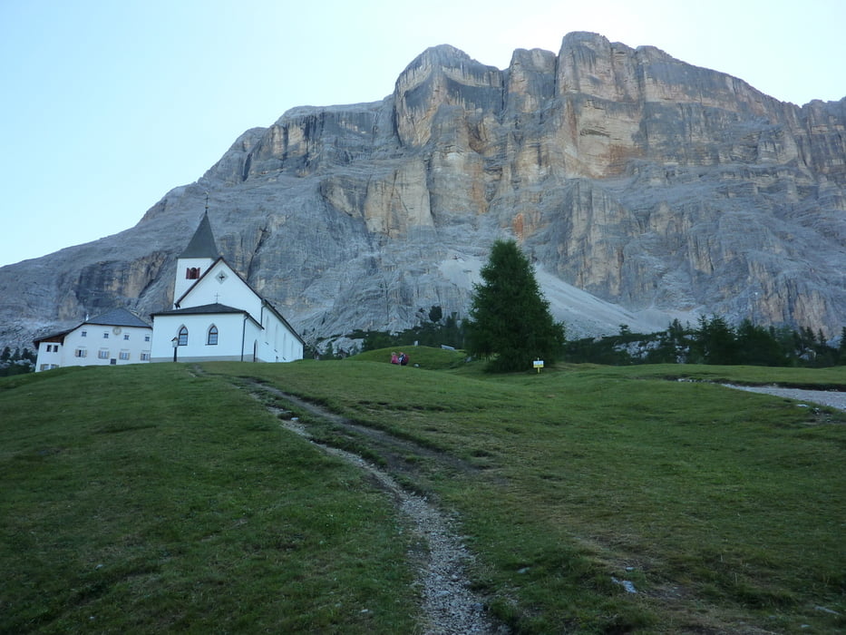
Gleich einem Schiffsbug steht das kantige Profil des Heiligkreuzkofels über dem Hochabtei, senkrecht fällt der Fels ab zu den Lärchen und Almböden rund um das Wallfahrtskirchlein Heiligkreuz (2045m).
Ausgangspunkt ist die Bergstation des Sesselliftes Pedratsches-Heiligkreuz (1840m).
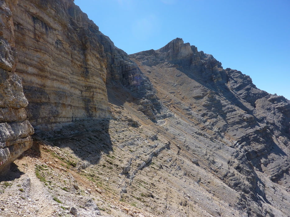
Der Wegverlauf erfolgt von der Liftstation – Hospiz Heiligkreuz – Kreuzkofelscharte (2612m) – Abstecher zum Zehner (3026m) hin und zurück – Heiligkreuzkofel (2907m) – gleicher Weg zurück.
Tour gallery


Tour map and elevation profile
Minimum height 1785 m
Maximum height 3022 m
More about the tour author
|
|
harald07071 |
Comments

Ins Hochabtei kommt man vom Pustertal über die Strada Statale No.244, 29km bis Pedratsches(1330m)
GPS tracks
Trackpoints-
GPX / Garmin Map Source (gpx) download
-
TCX / Garmin Training Center® (tcx) download
-
CRS / Garmin Training Center® (crs) download
-
Google Earth (kml) download
-
G7ToWin (g7t) download
-
TTQV (trk) download
-
Overlay (ovl) download
-
Fugawi (txt) download
-
Kompass (DAV) Track (tk) download
-
Track data sheet (pdf) download
-
Original file of the author (gpx) download
More about the tour author
|
|
harald07071 |
Add to my favorites
Remove from my favorites
Edit tags
Open track
My score
Rate