Login

Forgotten password?

Cookies have to be accepted!
Your browser's cookie functionality is disabled. Please enable this functionality.

Not a member yet?

Register now
Login

Available for registred users only

Log in to use this feature.

Forgotten password?

Cookies have to be accepted!
Your browser's cookie functionality is disabled. Please enable this functionality.

Not a member yet?

Register now
Filter
Categories
Advanced filters
  • Distance (km)
  • Height
Save filters Reset filter

TrackRank

QRCode

Technical data

Distance507,3 km Height15768 m Way down16459 m Duration7 days 0 h Date05.08.2010
Scores Author Landscape Fun factor Fitness Technique

Statistics

2881 Views 1 Score 206 Downloads 3.00 Average
Rate
  • Track data sheet
  • Directions
  • Downloads

1. Tag: - Start- Tegernsee - Weidener Hütte

2. Tag: Weidener Hütte - Pfitscher Joch Haus

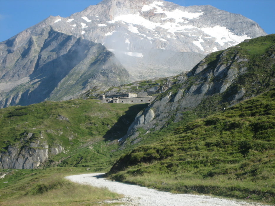
3. Tag: Pfitscher Joch Haus - Starkenfelder Hütte

4. Tag: Starkenfelder Hütte - Pralongia

5.Tag: Pralongia - Zischgalm

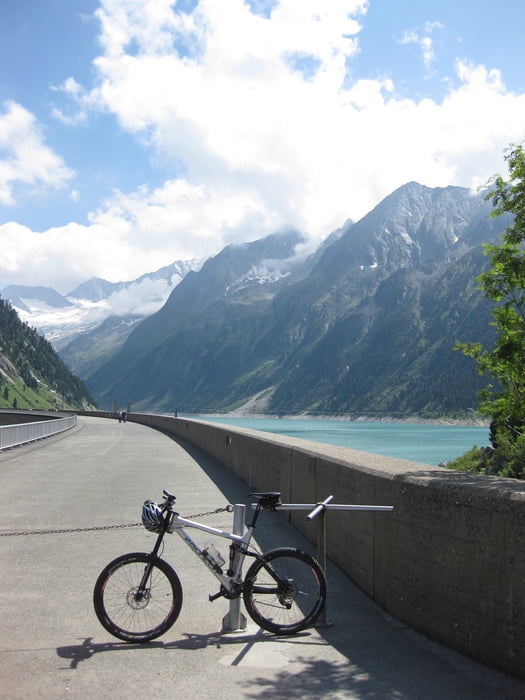
6. Tag: Zischgalm - Bertoldi

7. Tag: Bertoldi - Torbole Gardasee - Ziel -

Tour gallery

Tour map and elevation profile

  • Open Street Map
  • Google
Minimum height 71 m Maximum height 2305 m Detailed view

More about the tour author

jofri
Member since 2008

Send private message

Comments

Mit dem Zug nach Münnchen - Umsteigen in die BOB ( Bayerische Oberland Bahn ) zum Tegernsee

GPS tracks

Trackpoints
  • GPX / Garmin Map Source (gpx) download
  • TCX / Garmin Training Center® (tcx) download
  • CRS / Garmin Training Center® (crs) download
  • Google Earth (kml) download
  • G7ToWin (g7t) download
  • TTQV (trk) download
  • Overlay (ovl) download
  • Fugawi (txt) download
  • Kompass (DAV) Track (tk) download
  • Track data sheet (pdf) download
  • Original file of the author (gpx) download

More about the tour author

jofri
Member since 2008

Send private message
Share track
Add to my favorites
Remove from my favorites
Edit tags
My score
Rate
Track: Transalp 2010 / Tegernsee - Dolomiten - Torbole Gardasee // jofri
Type: Transalp
Distance: 507,3 km
Evaluated on:
Duration:
Day(s)
Hour(s)
Minute(s)
Score: Landscape Fun factor Fitness Technique