


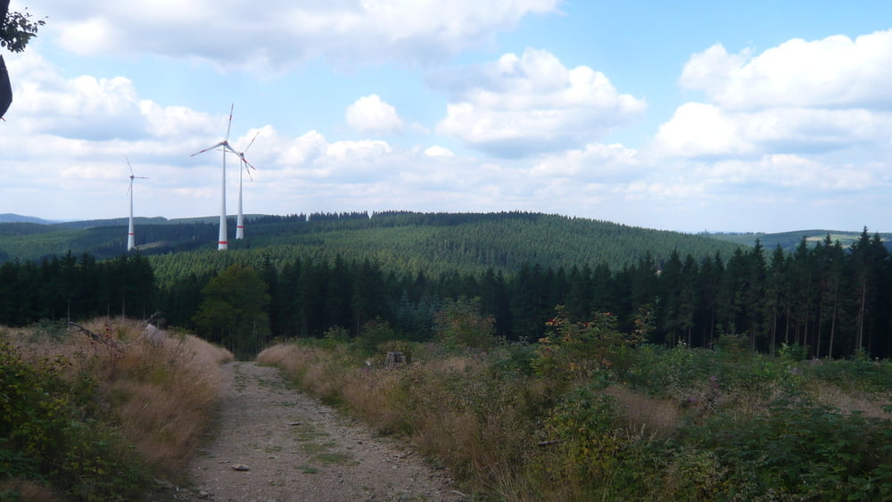
Tour startet am Bahnhof Lützel, führt durch Erntebrück ins Schwarzbachtel. Einige Bäche sind zu durchfahren (kein Problem). Teilweise wird der Rothaarsteig befahren. Dann den Hilchenbacherhöhenring und an den Windrädern vorbei nach Kreuztal. Hier kann hat man auh wieder Zugverbindung nach Hagen oder Siegen.
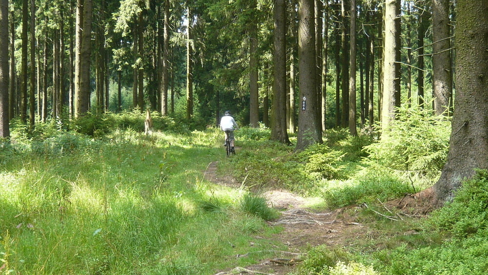
Leider kommt die Tour nicht ganz ohne Asphalt und Srasse aus dafür hat sie aber auch Schöne Trails und Abfahrten.
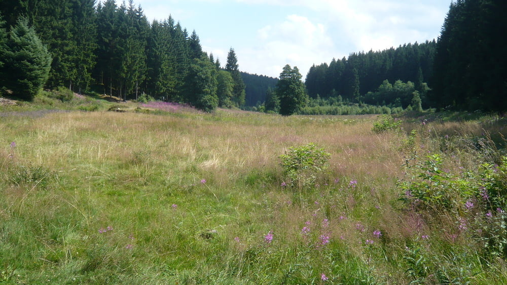
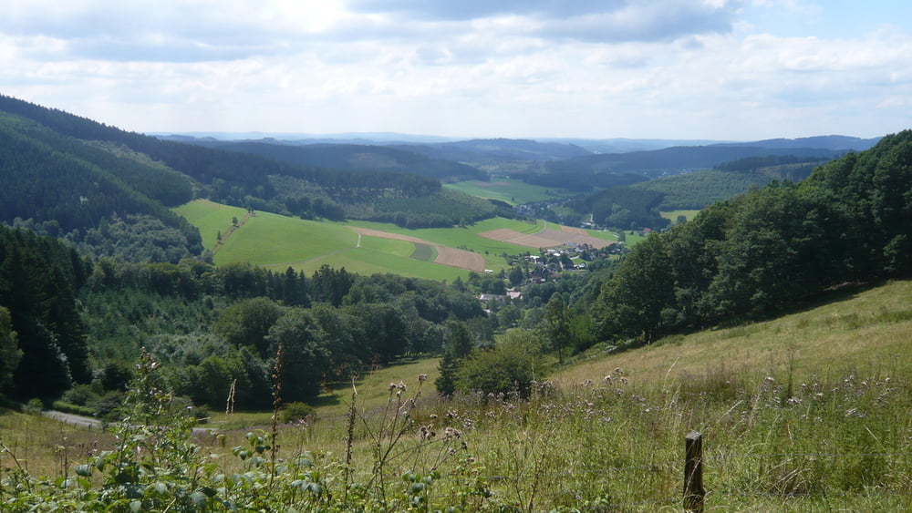
Tour gallery
Tour map and elevation profile
Minimum height 311 m
Maximum height 682 m
More about the tour author

|
Michi-SI |
Comments
Zugverbindung 3 Länderbahn Richtung Erntebrück
Auto die B 62 nach Lützel aber -ACHTUNG- keine Rundstrecke!!
GPS tracks
Trackpoints-
GPX / Garmin Map Source (gpx) download
-
TCX / Garmin Training Center® (tcx) download
-
CRS / Garmin Training Center® (crs) download
-
Google Earth (kml) download
-
G7ToWin (g7t) download
-
TTQV (trk) download
-
Overlay (ovl) download
-
Fugawi (txt) download
-
Kompass (DAV) Track (tk) download
-
Track data sheet (pdf) download
-
Original file of the author (gpx) download
More about the tour author
|
|
Michi-SI |
Add to my favorites
Remove from my favorites
Edit tags
Open track
My score
Rate
Schöne Tour
Die erste für meinen Kumpel... Die erste für mein neues Bike...
Hat Spass gemacht. Super Ansteigungen ;-)
In Hilchenbach Zwischenstop wegen Bratwurst und Co.
Danke